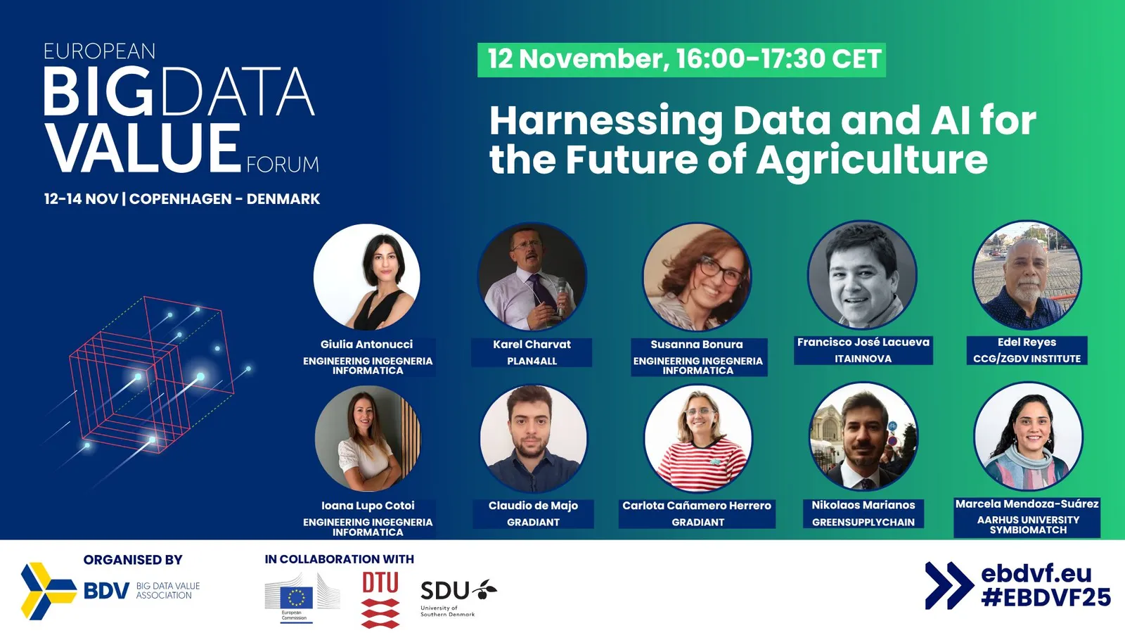
We are pleased to share a summary of Karel Charvat’s presentation at the European Big Data Value Forum (EBDVF 2025), held from 12–14 November 2025 in Copenhagen. The session focused on the integration of Large Language Models (LLMs) with Earth Observation (EO) and geospatial technologies to power the next generation of Agricultural Knowledge and Innovation Systems (AKIS).
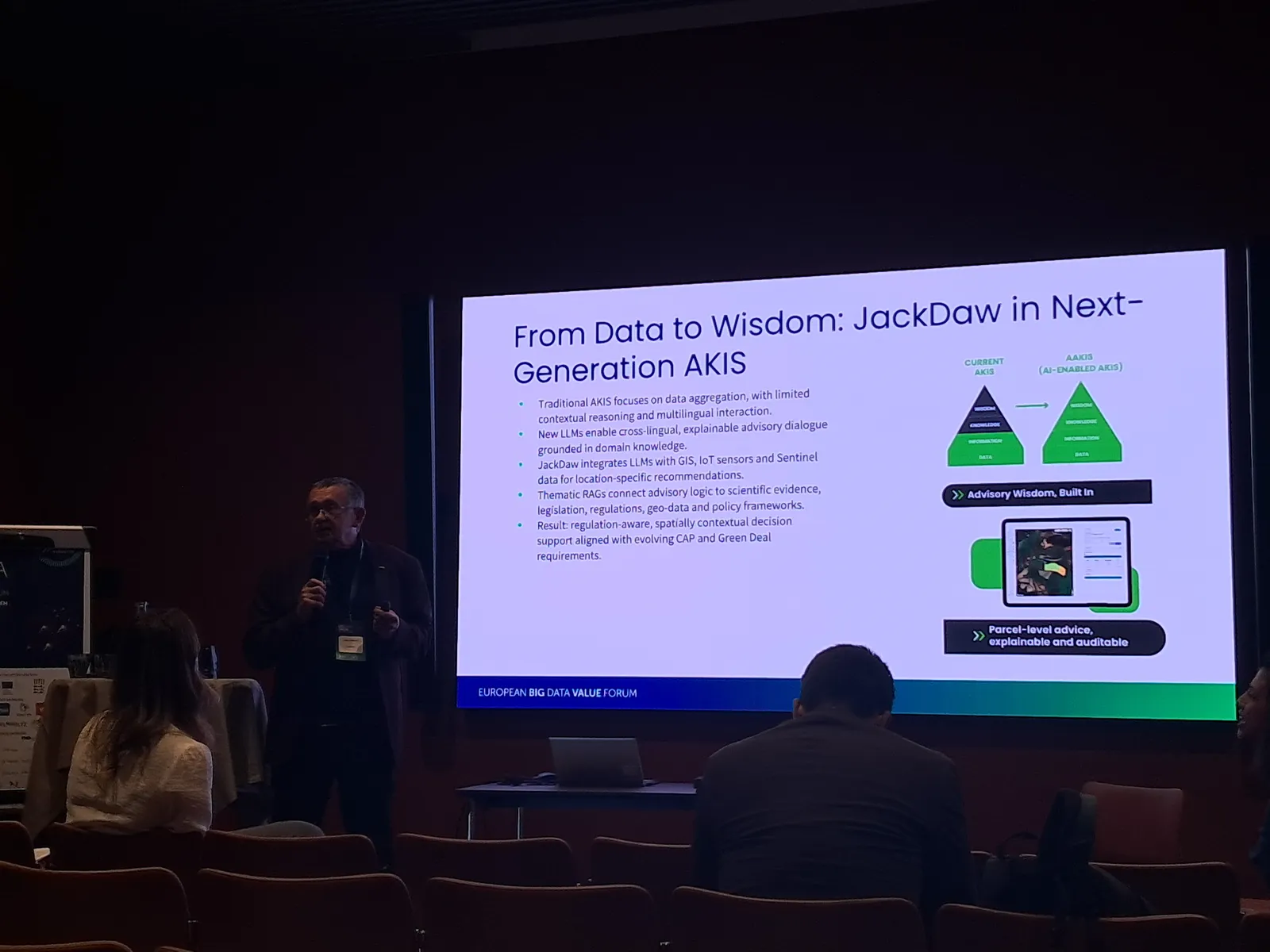
From Data to Wisdom: JackDaw for Next-Generation AKIS
The presentation introduced a vision of transforming today’s data-heavy but context-limited agricultural systems into intelligent, multilingual, and regulation-aware advisory solutions.
Traditional AKIS architectures often struggle with cross-lingual communication, contextual reasoning, and the integration of diverse data sources.
The proposed JackDaw concept addresses these limitations by combining:
- LLMs for explainable, multilingual advisory dialogue
- GIS, IoT, and Sentinel-based EO data for location-specific insights
- Thematic Retrieval-Augmented Generation (RAG) to ground answers in scientific evidence, regulations, and geospatial context
The result is a parcel-level, regulation-aware, spatially contextual decision-support environment, aligned with evolving CAP and Green Deal requirements.
Technological Challenges: Building a New Advisory Architecture
Karel Charvat highlighted key challenges that must be addressed to enable LLM-driven advisory systems:
1. Adapting Existing Services for LLM Interaction
Current advisory and policy tools need to be redesigned to allow natural-language interaction, regulatory reasoning, and spatial awareness.
2. Curating Domain-Specific Knowledge
A major component is building curated libraries of regulations, guidelines, and scientific literature.
With RAG techniques, these sources can now be automatically retrieved and incorporated into advisory outputs—something that was impossible in practice a decade ago.
3. Unlocking Geospatial Data for LLMs
For meaningful spatial reasoning, geospatial datasets must be presented in structured, machine-interpretable formats.
This includes vector/raster data model harmonisation, traceable spatial metadata, and geospatial service descriptions suitable for LLM tool calls.
4. Designing Map-Centred Interfaces
Next-gen advisory tools will allow users to combine natural-language prompts with map-based selections, enabling:
- interactive parcel selection
- on-the-fly DataCube operations
- synchronised maps, charts, and explanatory text
- full provenance tracking of computed results
GeoRAG: A New Paradigm in Spatially Aware Decision Support
An important part of the presentation was GeoRAG, an architecture that merges geospatial databases, thematic documents, and LLMs.
GeoRAG enables:
- retrieval of parcel-level data (LPIS, EO indicators, soil & climate data)
- integration of regulatory texts and advisory bulletins
- generation of location-specific, regulation-compliant recommendations
This moves agricultural advisory services from generic, location-agnostic responses to highly contextualised, evidence-based advisory dialogue.
Metadata Evolution: From Structural to Semantic
To make geospatial and agricultural data truly LLM-ready, metadata must become:
- richer in semantic meaning,
- connected across vocabularies and schemas,
- machine-interpretable, and
- suitable for vectorisation and RAG search.
Charvat described an extended metadata model covering datasets, services, schemas, mappings, context and provenance, enabling LLMs to navigate complex agricultural data ecosystems.
Local and Federated LLMs for Agriculture
A strong emphasis was placed on data sovereignty.
Locally running, domain-tailored LLMs allow advisory organisations, ministries, and paying agencies to benefit from AI without sending sensitive data to external providers.
Next steps include federated learning across organisations — enabling shared improvements without centralising data.
Opportunities for Cooperation
As a follow-up to this presentation, a series of technical training sessions on GeoRAG, metadata enrichment, and LLM integration will take place throughout November and December.
Details will be published at: https://www.poliruralplus.eu/
These sessions are open to winners of the open calls as well as the wider community, with recordings available afterwards.
The full presentation will be available for download here: LINK

Existing Comments