Blog
Topics
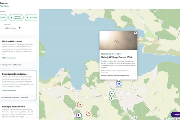
Activity Map for rural events: making local life easier to discover
The Activity Map web service centred on the Mallusjoki pilot area in Finland, demonstrating events and destinations in a shared map view.
None • Avoin Map Oy, Otso Valta
A rural area may have an active cultural life, beautiful natural destinations and a full calendar of community events—and still appear almost empty online.Information may be divided between social-me
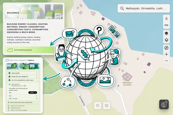
Map services for rural sustainability: from energy renovation to climate-conscious land use
None • Avoin Map Oy, Otso Valta
How much energy could a renovation save? What would it cost, and how would it affect emissions? What happens to carbon storage when a new building, road, power line or renewable-energy site is planne
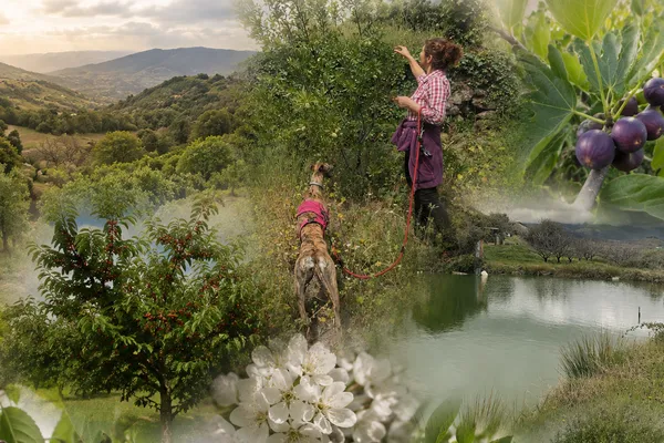
From farm to visitor: how we taught JackDaw to speak for our estate
1. srpna 2026 • Roberto Gimenez, Espacio SOA SLU
Since this spring, visitors to Aires de la Vera carry something new in their pocket: direct access to JackDaw, the GeoAI agent of PoliRuralPlus, from inside the estate's app. They can ask it contextu
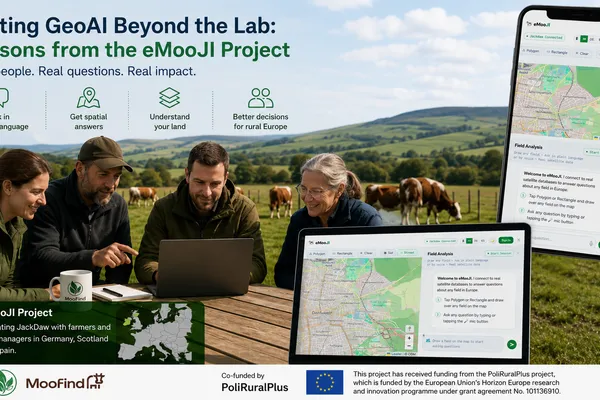
Testing GeoAI Beyond the Lab: Lessons from the eMooJI Project
31. července 2026 • Jeet Biswas, Moofind UG
Artificial intelligence for geospatial analysis is advancing rapidly, but its value ultimately depends on whether real people can use it to solve real problems. During the six-month eMooJI project, f
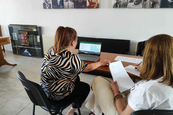
AURA concludes: validating GeoAI for better rural–urban decisions
In Central Macedonia, Greece, AURA tested how a conversational GeoAI tool can support more accessible, evidence-informed decisions for communities, public authorities and local businesses.
28. července 2026 • Dr. Charalampos Kyfonidis, Synapsi
Making territorial intelligence easier to useAURA (Assessment of Urban–Rural AI) validated JackDaw, a GeoAI chatbot that combines natural-language interaction with geographic, demographic, environmen
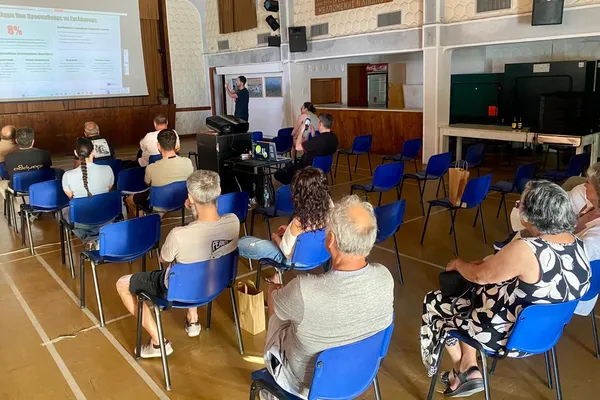
The AI Assistant Behind DASK
A new scientific preprint documents Falco eleonorae, the Greek-first, geospatially grounded assistant built for the farmers of Kythera and Antikythera, and the design choices that make an AI assistant usable on a remote island.
28. července 2026 • Nikolaos Tantaroudas, Daskalos Apps
Over the past year, the DASK (Digital Agricultural Skills and Knowledge) pilot has reported on its work in stages: i) the development of an integrated platform for the agricultural communities of Kyt
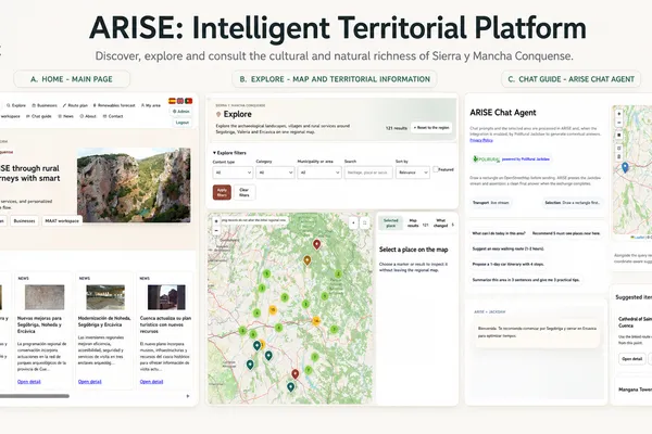
ARISE final results: a reusable Heritage Synergy Platform for rural territories
After nine months of implementation, ARISE leaves Sierra y Mancha Conquense with a live public service, a multi-actor workspace and a practical basis for replication.
27. července 2026 • Pedro Branco, Obsidian Innovation Institute
What happens when a rural territory has exceptional heritage assets, active local businesses and committed organisations, but the information connecting them remains fragmented? This was the question
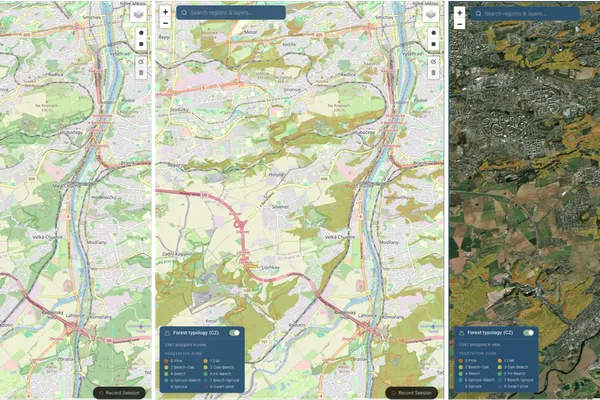
One Country at a Time: How a Code Camp in Piraeus Added a Czech Forest Layer to SYLVAN-AI — and a Blueprint for the Rest
SYLVAN-AI already searched 442 million cadastral parcels across 27 countries. Through the JackDaw Code Camp it gained something continental data cannot provide: a national forestry classification, contributed by the institute that maintains it.
27. července 2026 • Amir Abbas Zad Poor, Sylvanity B.V.
A platform designed to absorb national knowledgeSYLVAN-AI is a chat-enabled forest manager, selected under the PoliRuralPlus Enhance Open Call to validate the JackDaw tool-using GeoLLM in one of the
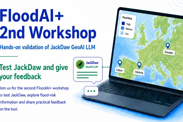
Testing JackDaw in practice: lessons from the second FloodAI+ workshop
A one-hour hands-on session showed where conversational GeoAI can make flood-risk information easier to access, and where stronger maps, provenance and local detail are still needed.
27. července 2026 • Ana Silva, Porvalor
From expectations to hands-on testingThe first FloodAI+ workshop established clear expectations. Stakeholders wanted maps that explain risk, understandable answers for different users, information ab
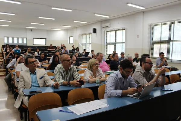
The future of short food supply chains in Apulia is digital: "Field2Fork AI Hub" concludes successfully
From the synergy between Artificial Intelligence and local agriculture comes the "Personal Farmer": technology at the service of producers and consumers for zero-mile, healthy, and sustainable shopping.
27. července 2026 • DARe Puglia, EXO
The journey of the pilot project Field2Fork AI Hub officially concluded with a series of key milestones in July 2026. Funded under the European initiative PoliRuralPlus (Horizon Europe), the project