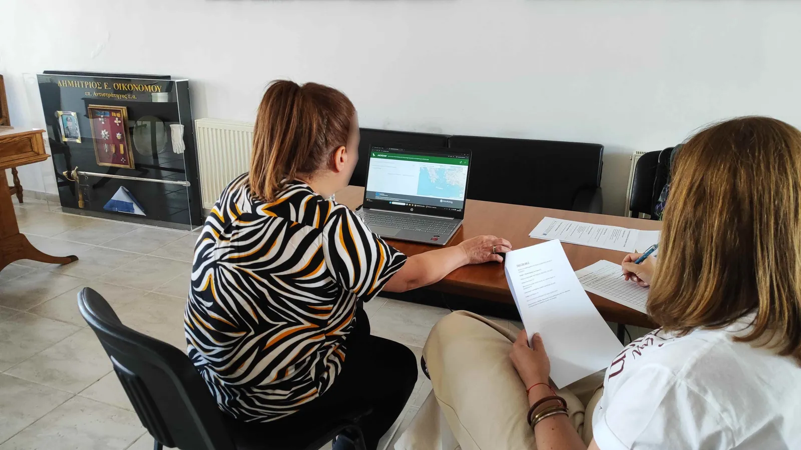
Making territorial intelligence easier to use
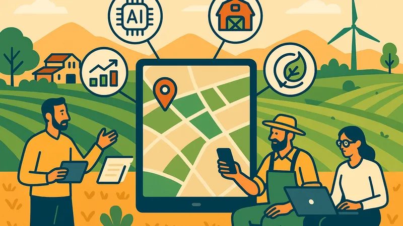
AURA (Assessment of Urban–Rural AI) validated JackDaw, a GeoAI chatbot that combines natural-language interaction with geographic, demographic, environmental and socio-economic data.
Rather than requiring people to navigate complex datasets and maps, JackDaw is designed to let them ask location-specific questions in everyday language. AURA brought this technology into real decision-making contexts: peri-urban planning, rural tourism and data-driven business intelligence.
The project involved public authorities, planners, business-support organisations, tourism stakeholders, farmers, entrepreneurs, civil-society representatives and citizens, across three regions of Central Macedonia.
Why the workshops mattered
In each pilot area, the workshops brought together local stakeholders who don't always sit at the same table: for example, local government working alongside individual farmers and community groups in Kilkis, or business owners meeting the local tourism organisation and a marketing specialist in Veria.
A human-centred process
From testing to collaboration and community validation
The project followed three connected phases, all built around realistic, pilot-specific scenarios. Early usability testing, done one person at a time, identified practical barriers. Collaborative workshops then brought local stakeholders together to work through the same kind of scenarios as a group. The final phase expanded the evaluation to a community sample of 60 participants.
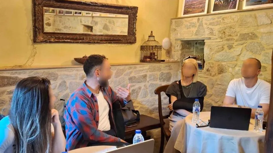
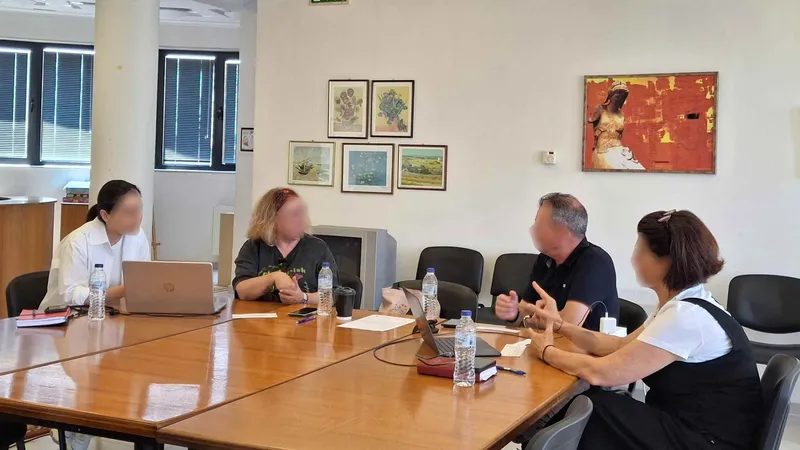
Phase 2: Local stakeholders explore JackDaw together during AURA’s collaborative workshops.
What changed
A measurable usability improvement
Area selection, the key first step for asking location-based questions, emerged as a major challenge in early testing. On 15 June 2026, based on preliminary AURA findings presented at the Athens JackDaw Code Camp, the development team updated the drawing and selection controls, and the final validation showed a clear improvement.
Task completion increased, while the time participants needed to select an area fell sharply. This is a concrete demonstration of how direct feedback from users can lead to measurable improvements in a live digital tool.
228s → 140s
Median time for area selection
Performance improved after the 15 June interface update, made in response to AURA's feedback during the community-wide validation period.
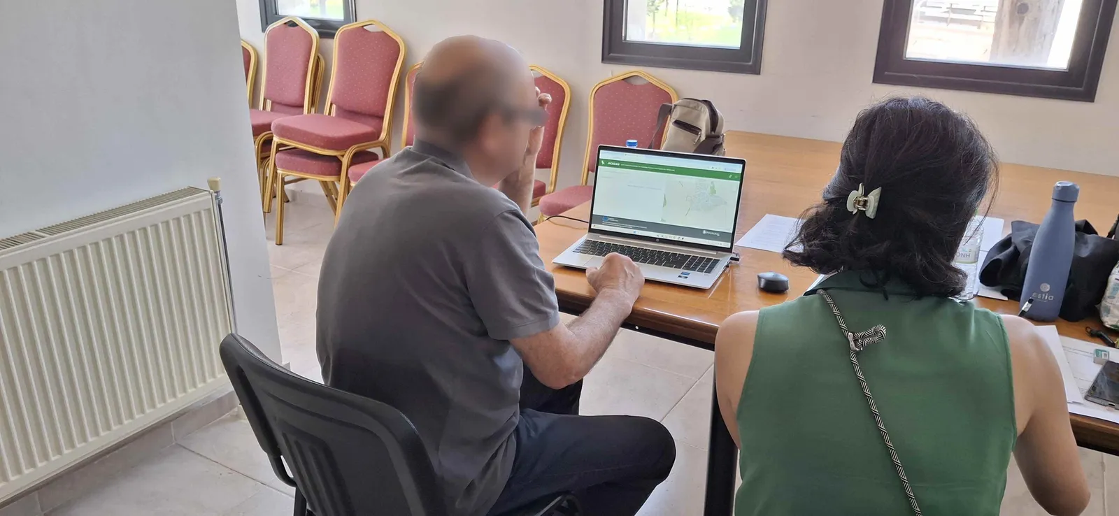
Phase 3: Participants take part in AURA’s community-wide validation of JackDaw.
Key findings
The opportunity is real, and so are the priorities
Participants recognised the potential of GeoAI to make territorial information more accessible and to support better-informed local decisions.
01 A useful first step
JackDaw can help users frame an enquiry, identify relevant considerations and prepare for a decision.
02 Trust needs evidence
Users asked for broader local data coverage and clear data sources, especially when information informed real-world choices.
03 It needs to work, every time
During testing, JackDaw sometimes crashed or showed error messages, and this didn't improve over the course of the project. Fixing this matters just as much as improving the interface.
The development agenda
From evidence to action
AURA produced 25 concrete recommendations for JackDaw’s future development. Together, they show a clear path to making JackDaw more useful and more trustworthy.
- Expand locally relevant data coverage
- Show clear sources for data and answers
- Strengthen reliability and error handling
- Enable mobile-friendly access and voice input
- Support document and photo uploads
- Keep testing continuously with real users
A lasting contribution
Capacity building through participation
Beyond evaluating the platform, AURA gave participants hands-on experience in framing GeoAI questions, interpreting map-based and tabular outputs, and judging the quality of AI-generated information. For some, it was a first direct encounter with conversational AI in a professional or local-development context.
An approach designed to travel
AURA’s three use cases (peri-urban growth, climate-sensitive rural tourism and rural business intelligence) reflect challenges shared by many European regions and provide a practical foundation for replication.
Looking ahead
Turning GeoAI potential into everyday value
AURA shows that conversational GeoAI can make evidence-based decisions easier for communities and local authorities. The next step is clear: improve data quality and transparency, strengthen reliability, and keep users involved as the tool develops.
Existující komentáře