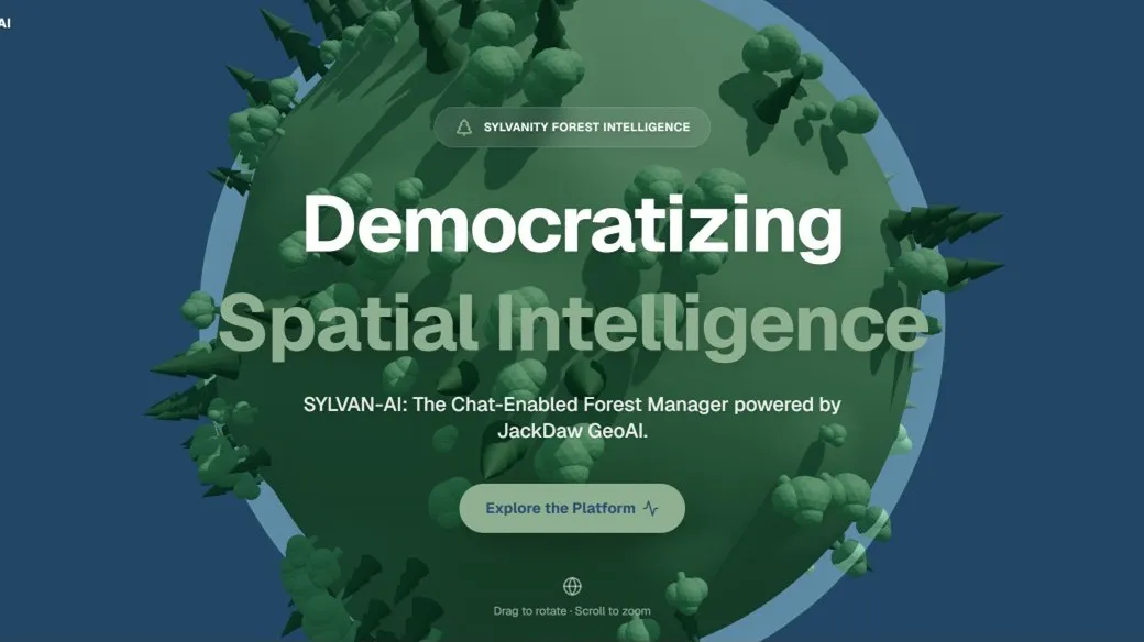
Navigating Complex Forestry Data Europe's forests generate vast amounts of critical information, ranging from satellite imagery and land-use records to biodiversity maps and protected-area datasets. Yet, accessing meaningful insights from this data often requires specialist Geographic Information System (GIS) expertise and a significant investment of time. For forest owners, spatial planners, and rural decision-makers, this data complexity can be a barrier to timely, evidence-based action.
Sylvanity B.V. is proud to announce the official launch of SYLVAN-AI. Building upon cutting-edge GeoAI technologies, SYLVAN-AI shifts the paradigm from data complexity to natural conversation.Instead of searching through multiple GIS platforms and disjointed datasets, users can now interact with their spatial data by asking questions in plain language, such as:
- "Which protected habitats overlap with my forest parcels?"
- "What environmental restrictions apply to this area?"
- "Which locations offer the best opportunities for restoration?"
The SYLVAN-AI dashboard combines satellite observations, cadastral information, environmental layers, and protected-area datasets into a single, user-friendly conversational interface.
This innovation is supported by our recent selection in the PoliRuralPlus ENHANCE Call. This European recognition is crucial for our current phase: validating the conversational capabilities of the JackDaw geospatial AI agent across diverse European regions. By applying and testing JackDaw in real-world forestry and rural management contexts, we are demonstrating the immense potential of AI-powered decision support for sustainable rural development. Through this validation process, SYLVAN-AI aims to accelerate decision-making, improve transparency, and offer a scalable, replicable roadmap for rural intelligence across Europe.
To experience the future of forestry intelligence, we invite the PoliRuralPlus community to visit, sign up, and explore the platform at www.sylvan-ai.com.
Funding acknowledgement
PoliRuralPlus has received funding from the European Union’s Horizon Europe research and innovation programme under Grant Agreement No. 101136910. Views and opinions expressed are however those of the author(s) only and do not necessarily reflect those of the European Union or the European Research Executive Agency. Neither the European Union nor the granting authority can be held responsible for them.
Existující komentáře