Blog
Topics
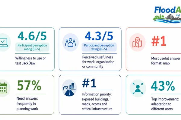
Maps first, decisions next: lessons from JackDaw’s first FloodAI+ workshop
How stakeholder feedback is helping validate JackDaw and the new Flood Connector for practical flood-risk decisions
8. júl 2026 • Ana Silva, Porvalor
Why FloodAI+ matters nowFlood-risk information is becoming richer, more spatial and more data-driven. Hazard layers, satellite imagery, exposure models, vulnerability indicators and rainfall scenario
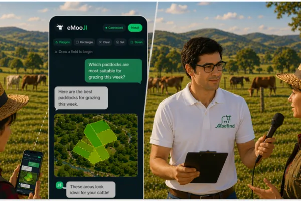
Bringing AI Closer to Farmers: How eMooJI Makes Map-Based Decisions Easier
1. júl 2026 • Jeet Biswas, Moofind
eMooJI is Moofind’s validation project under the PoliRuralPlus ENHANCE Call, testing how JackDaw can make complex spatial data easier to use for farmers and rural stakeholders. By combining GeoAI, Ea
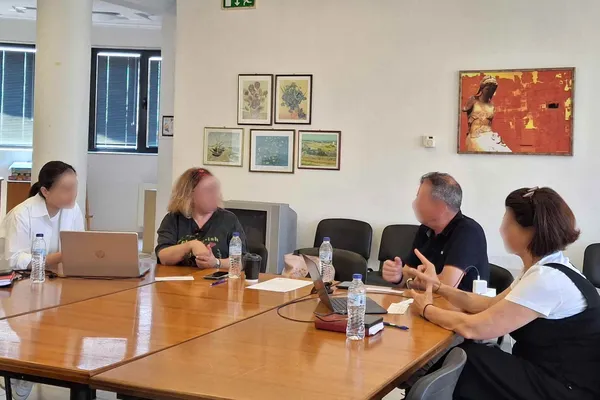
Putting JackDaw to the Test: Early Findings from AURA's Usability Evaluation
29. jún 2026 • AURA project
Earlier this year, the AURA project set out to answer a deceptively simple question: can an AI chatbot built on geospatial, climatic and demographic data actually help people in Central Macedonia mak
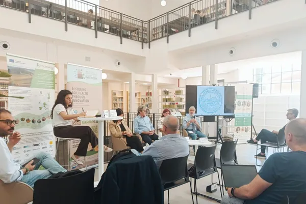
PoliRuralPlus joins the INTERESH Policy Lab
Strengthening dialogue among local actors to support sustainable agriculture and integrated territorial development
28. jún 2026 • Tinada
On 16 June, PoliRuralPlus participated in the Policy Lab organised by the INTERESH project, an event dedicated to sustainable soil management and the role of coordinated policy action in supporting m
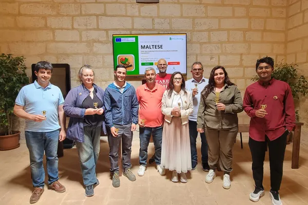
MALTESE: Training in Malta turns digital tools into rural action
3. jún 2026 • Daniel Amariei, PAMEA
A four-day training programme under PoliRuralPlus brought together young people, farmers, entrepreneurs, educators, and local stakeholders in Malta to test digital tools, explore circular agri-busine
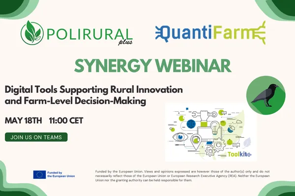
PoliRuralPlus x QuantiFarm Synergy Webinar
The PoliRuralPlus x QuantiFarm Synergy Webinar explored how digital tools developed within each project can transform agricultural and territorial data into practical insights for farmers, advisors, policymakers and rural communities.
26. máj 2026 • Katerina Sachsamanoglou (GAIA EPICHEIREIN)
On the 18th of May, the EU-funded projects PoliRuralPlus and QuantiFarm joined forces for an online synergy webinar exploring how digital tools developed within each project can support farmers, advi
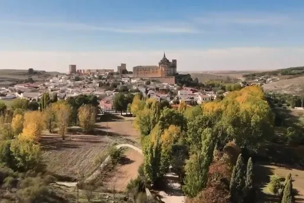
The PoliRuralPlus Spanish Pilot: Connecting Rural Territories Through CoCreation
How collaboration and local knowledge are driving rural innovation in the ADESIMAN territory
12. máj 2026 • Julián Orden del Pozo
The Spanish pilot of PoliRuralPlus is being implemented in the ADESIMAN territory, a rural area that reflects many of the broader challenges currently faced by rural regions across Europe. Demographi
From border to bridge: The story of Klatovy’s Innovation Hub
1. apríl 2026 • Markéta Kollerová
Where the forests of Šumava meet the Bavarian Forest, the landscape tells an old story, one of borders. But today, a new story is taking shape.And its centre is Klatovy. A small town, close to both P
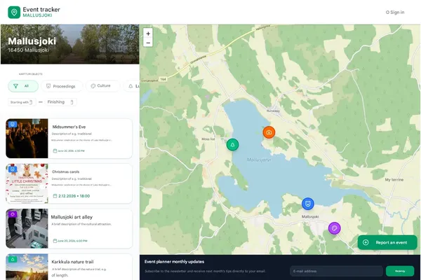
Digital services for the Rural Events and Activities ecosystem are under development for the Mallusjoki pilot region
16. marec 2026 • Avoin Ry, Otso Valta
Cover image: A mockup by Annika Katter. Activity Map and Calendar is one of the services under development as part of the Avoin Map project for the Mallusjoki pilot region. One of the services curr
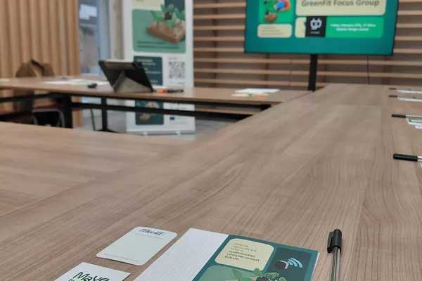
Creating Synergies to Support Malta’s Green and Digital Farming Transition
Potential Synergies with Greenfit Project
11. marec 2026 • Maria Elena Muscat , Kayleigh Farrugia
Supporting greener farming in Malta through digital skills and practical trainingTowards the end of February 2026, the PoliRuralPlus Malta Pilot 9 Team at AcrossLimits participated in the GreenFit Pr