
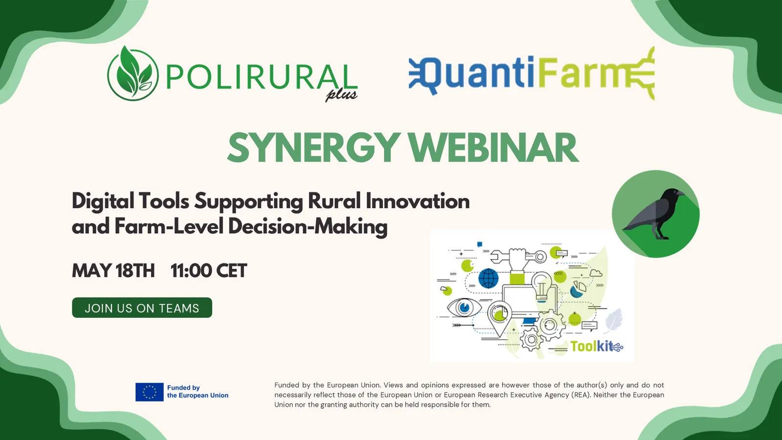
On the 18th of May, the EU-funded projects PoliRuralPlus and QuantiFarm joined forces for an online synergy webinar exploring how digital tools developed within each project can support farmers, advisors, policymakers and rural communities.
The session introduced the objectives of the PoliRuralPlus Greek pilot and presented QuantiFarm’s work on assessing the real-life impact of Digital Agricultural Technologies. A key highlight was the live demonstration of two digital solutions: the QuantiFarm Toolkit, which supports the impact assessment of digital technologies at farm level, and JackDaw, which enables stakeholders to interactively explore and analyse spatial data through natural language queries linked to maps.
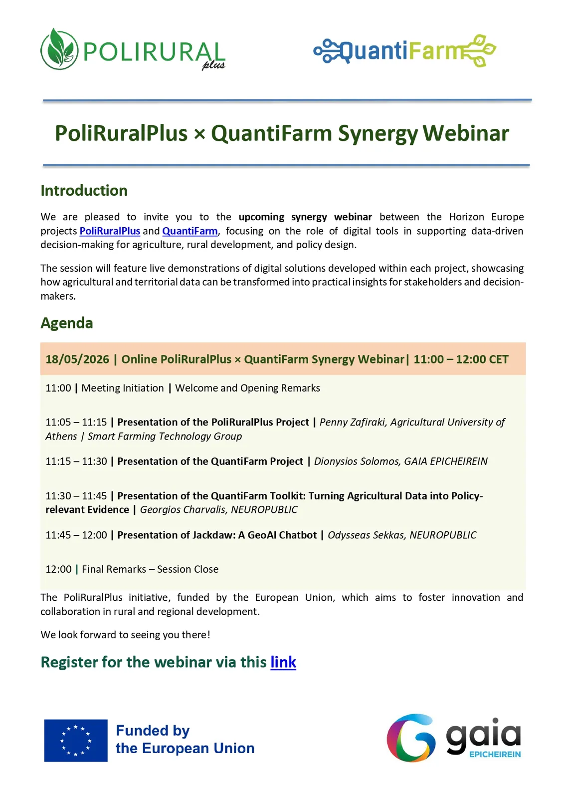
In the first part, the Greek Pilot leader, Mrs Penny Zafiraki (Agricultural University of Athens | Smart Farming Technology Group), provided an overview of the PoliRuralPlus project and its main objectives. She then introduced the PoliRuralPlus Greek pilot in Central Greece, which aims to strengthen rural innovation by connecting sustainable agri-tech, agritourism, and stakeholder engagement. The pilot addresses key regional challenges such as rural depopulation, youth migration, skills gaps, and limited digital capacity in the agricultural sector. Its expected contribution is to improve digital skills, increase the adoption of agri-tech solutions, and support a more resilient rural-urban ecosystem.
Then, the QuantiFarm project coordinator, Mr. Dionysios Solomos (GAIA EPICHEIREIN), gave a comprehensive presentation of the project, which focuses on assessing the real-life impact of digital agricultural technologies. The presentation highlighted a key challenge: although there is growing interest and investment in digital agricultural technologies, many farmers still lack clear evidence of their economic, environmental and social benefits. QuantiFarm responds to this gap through a structured assessment framework, test cases across Europe, and a dedicated toolkit that translates agricultural data into policy-relevant evidence.
In the second part of the webinar, the live demonstrations of the tools were presented. The QuantiFarm Toolkit was demonstrated by Mr. Georgios Charvalis (NEUROPUBLIC) as a practical mechanism to assess the benefits of digital agricultural technologies (DATs), support decision-making, benchmark farm performance, calculate costs and benefits, and monitor policy-relevant indicators. The toolkit includes several complementary components designed for different user needs. It offers decision-support tools such as the Cost-Benefit Calculator, the Recommendation Tool, the Benchmarking Tool and the Advanced Decision-Support Tool. These tools can help users evaluate the potential value of digital technologies, compare performance, identify suitable solutions and support more informed investment and management decisions.
Additionally, JackDaw was demonstrated by Mr. Odysseas Sekkas (NEUROPUBLIC). As a GeoAI conversational assistant, JackDaw allows users to interact with maps and spatial data through natural language. By making existing data, territorial knowledge and geospatial information more accessible and easier to interpret, JackDaw supports rural development actors, consultants and agricultural practitioners in exploring territorial challenges, understanding urban-rural linkages, and informing evidence-based policy, planning and investment decisions.
The webinar strengthened knowledge exchange between the two EU-funded projects and highlighted how data-driven tools can support better rural planning, advisory services and evidence-based decision-making.
The recording is available on the PoliRuralPlus YouTube channel.

Existing Comments