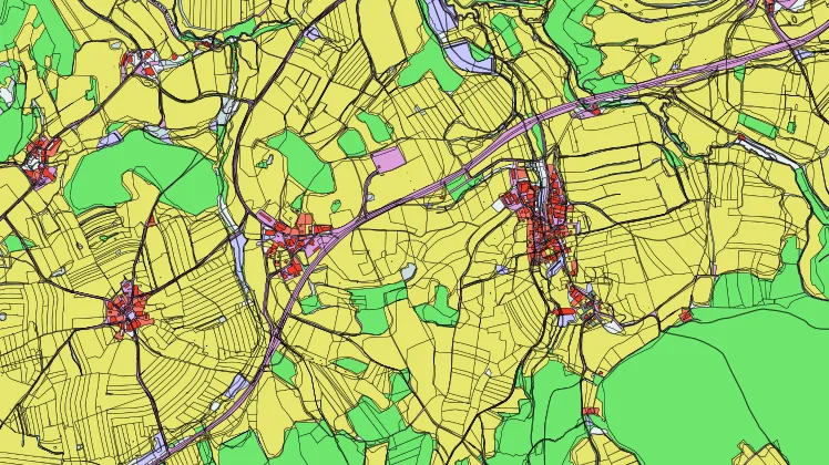
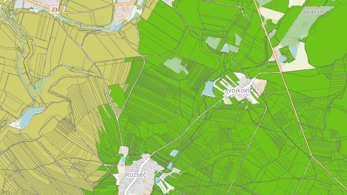
Maps
Create own map
Use the web map application to publish spatial data sets and compose thematic maps.
Browse existing datasets and maps created by others.
CORINE Land Cover 100
CLC 100 – Artificial surfaces
CORINE Land Cover 200
CLC 200 – Agricultural areas
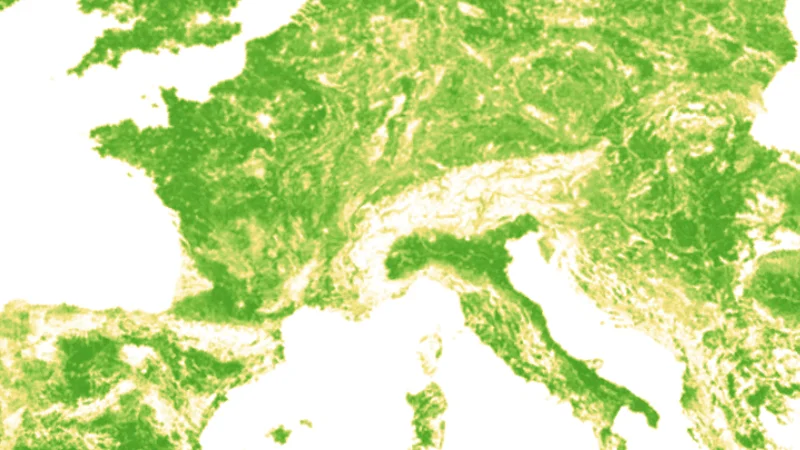
CORINE Land Cover 300
CLC 300 – Forests and semi-natural areas
CORINE Land Cover 400
CLC 400 – Wetlands
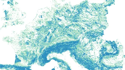
CORINE Land Cover 500
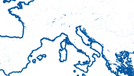
CLC 500 – Water bodies
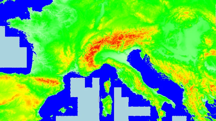
Digital Elevation Model of Europe
Digital Elevation Model (DEM) and its derivatives
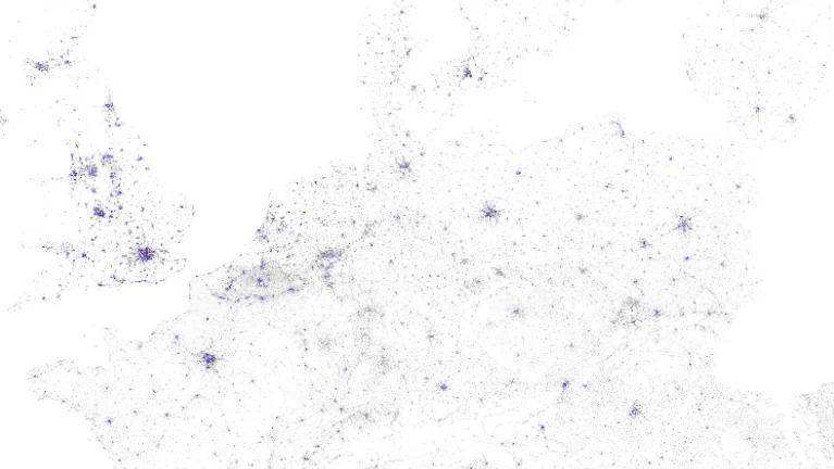
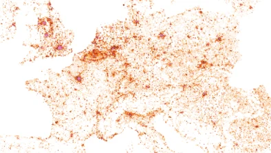
Population in Europe
Population grids of Europe
Transportation in Europe
Modes of transport in Europe
Camping sites in Europe
Camping sites in Europe
Hotels in Europe
Hotels in Europe
Restaurants in Europe
Restaurants, pubs and bars in Europe
Hierarchical INSPIRE Land Use Classification System 100
HILUCS 100 – Built-up areas

Hierarchical INSPIRE Land Use Classification System 200
HILUCS 200 – Agriculture and food production
Hierarchical INSPIRE Land Use Classification System 300
HILUCS 300 – Forestry and biomass
Hierarchical INSPIRE Land Use Classification System 400
HILUCS 400 – Water and aquatic ecosystems
Hierarchical INSPIRE Land Use Classification System 500
HILUCS 500 – Raw materials and energy
Hierarchical INSPIRE Land Use Classification System 600
HILUCS 600 – Ecosystem and cultural services, biodiversity
Map of open land use dataset
Open Land Use Map is a composite map that is intended to create detailed land-use maps of various regions based on certain pan-Europen datasets such as CORINE Landcover, UrbanAtlas enriched by available regional data.
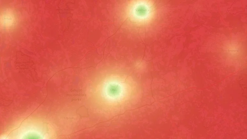
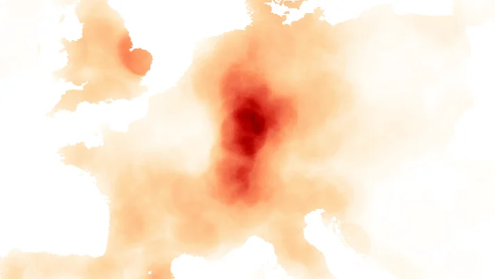
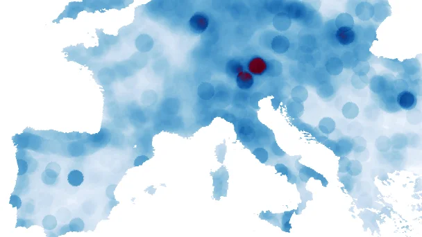
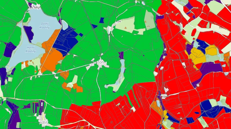
Innovation Potential in Rural Pilot Regions
The model for assessing the territory's attractiveness in terms of innovation potential in rural pilot regions.
The preliminary results are presented here using a heat map, in which green areas indicate places with strong innovation potential and red regions indicate weak innovation potential.
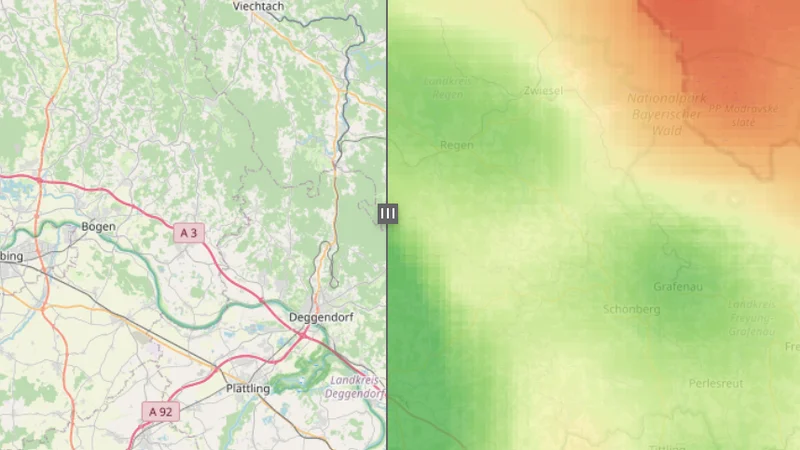
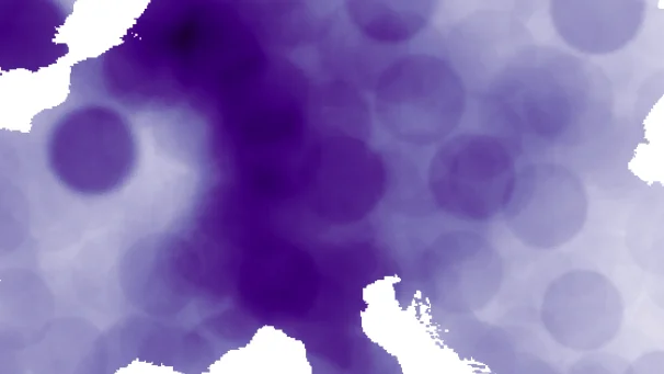
Innovation potential in Czech-Bavarian regions
The model for assessing the territory's attractiveness in terms of innovation potential along the Czech-Bavarian border is underway. This territory represents a very large rural and mountainous area in Central Europe. Moreover, its individual parts are considered marginal regions in both the Czech Republic and Germany.
The current results are presented using a cross-border heat map (Figure RAE4), in which green areas indicate places with strong innovation potential and red regions indicate weak innovation potential.
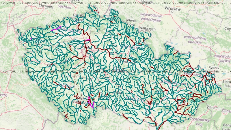
Czech water bodies and rivers
Map composition containing water bodies (rivers, lakes and their 25, 50 and 100 m zones), water reservoirs and water resource protection zones.
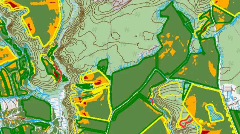
Erosion in Czechia
Map composition containing layers for DZES 5 filling, drainage lines and source erosion.
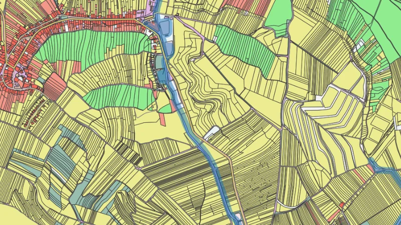
Soil map of Czechia
Map composition containing a 1:50000 soil map and a land rating system (BPEJ) layer.
Land attractiveness in Vysočina
The goal of data processing in the Vysočina area was to evaluate the attractiveness of the area with regard to the requirements of agriculture. Attractiveness is presented in the form of homogeneous clusters of areas with similar attractiveness or in the form of the order of areas from the point of view of attractiveness.
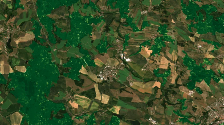
Forest development in 2017-2022
A time series of NDVI vegetation indices masked for forest areas shows the evolution of the state of forests affected by the bark beetle disaster between 2017 and 2022.
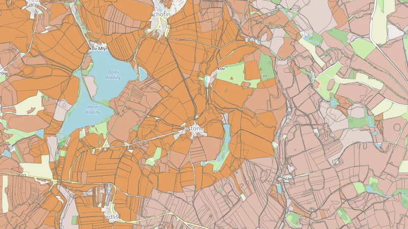
Agricultural land rating in Vysočina region
The composition shows the individual parameters of the score of the point assessment of profitability on the agricultural and forest lands of the OLU in the Vysočina. The land rating (BPEJ) thematic data comes from the national BPEJ database https://www.spucr.cz/bpej/celostatni-databaze-bpej. Land geometries are from the OLU database. Description of the database https://hub.plan4all.eu/olu.
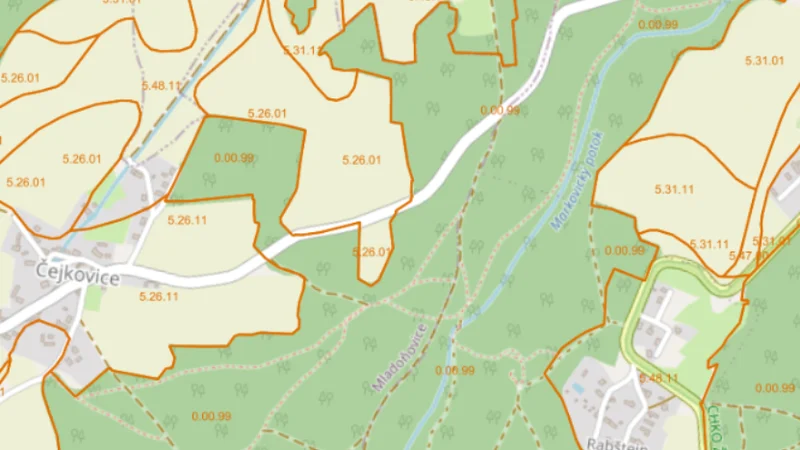
Land cover in Vysočina region
The composition shows the type of landscape cover and its use on Open Land Use (OLU) lands in Vysočina. The geometry of the faces comes from the OLU reference datasets.
Agroclimatic factors in Vysočina region
The composition shows selected agroclimatic factors of wheat growth on the agricultural and forest lands of Open Land Use in Vysočina. Thematic data of agroclimatic factor values come from data services at https://api-agroclimatic.lesprojekt.cz.