The PoliRuralPlus project was featured at OGC Connect Cape Town, the Open Geospatial Consortium’s 136th Technical Meeting in South Africa, held on 12–15 October 2026. During the Agriculture Domain Working Group (DWG) session “Agriculture in the Age of AI” on 13 October, partners explored how conversational GeoAI, trusted spatial data and open standards can make agricultural and rural information easier to use. The discussion was brought together in the Agriculture DWG closing plenary report presented by Karel Charvát (CCSS) on 15 October.
JackDaw: Let’s Have a Conversation About Places
Stein Runar Bergheim (Avinet) introduced JackDaw, the conversational GeoAI assistant developed within PoliRuralPlus. JackDaw helps people interact with maps and geographic information using natural language, reducing the need to navigate complex GIS interfaces and separate data portals.
The approach connects language-model capabilities with authoritative spatial information, including Copernicus, Eurostat, INSPIRE, OGC APIs and STAC. The aim is not merely to generate fluent answers, but to ground responses in identifiable and traceable sources. For rural stakeholders, regional planners and researchers, this offers a more accessible route to evidence-based territorial knowledge.
Agriculture in the Age of AI: People Remain at the Centre
Opening the session, Karel Charvát (CCSS) described AI as a family of technologies rather than a single solution: from Earth observation and machine learning to forecasting, semantic models and conversational assistants. He emphasised that interoperability provides the foundation for useful AI applications.
His guiding message was simple: “AI proposes — people decide.” Farmers, advisors, local experts and policymakers must be able to validate information and remain responsible for decisions. Transparent data provenance, uncertainty and local knowledge are therefore essential to trustworthy GeoAI.
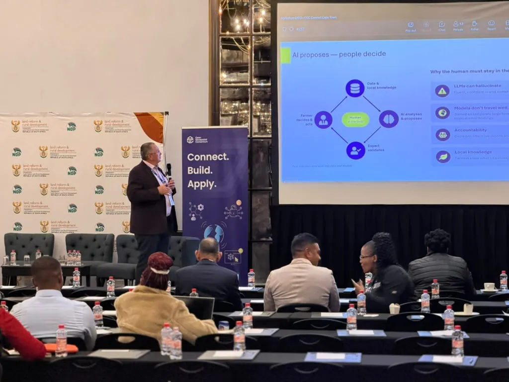
Karel Charvát presenting the principle “AI proposes — people decide” at OGC Connect Cape Town
Open Standards: Linking JackDaw, Gamma and OGC AIM
Raul Palma (PCSS) presented work on making the OGC Agriculture Information Model (AIM) actionable with large language models. The Gamma approach supports the mapping of heterogeneous information into AIM-aligned RDF, while Model Context Protocol (MCP) tools can enable access to structured, interoperable data.
Together, these ideas complement JackDaw’s conversational interface. Standards and shared semantics can make the information behind AI answers easier to discover, verify and reuse.
KijaniSpace: Practical Innovation and Local Skills in Africa
Jan Macura (Plan4all) presented the KijaniSpace Space-IoT Talent Programme in the Lake Victoria Basin. Combining training in GIS, Earth observation and IoT with practical hackathons, the programme supports local participants in developing solutions to agricultural and environmental challenges.
The 2026 hackathons in Kisumu, Kenya, and Mwanza, Tanzania, involved 74 participants working in 16 teams. Examples discussed included MvuaSasa, NetiSmart and SamakiWatch. KijaniSpace and PoliRuralPlus share an emphasis on technologies that respond to real needs and empower local communities.
Closing Plenary: A Roadmap for Trustworthy GeoAI
In the Agriculture DWG closing plenary on 15 October, Karel Charvát connected three complementary strands: people and capacity building through KijaniSpace, interoperable semantics through AIM and LLMs, and natural-language interaction through JackDaw.
The Working Group outlined longer-term priorities including traceable AI outputs, expert validation, transparent uncertainty, data sovereignty, AI-ready agricultural metadata and wider capacity building in Africa. It also proposed a Discussion Paper on GeoAI in agriculture and a possible interoperability experiment combining Gamma, MCP and JackDaw on AIM-compliant data. These were proposals for follow-up work, not completed initiatives.
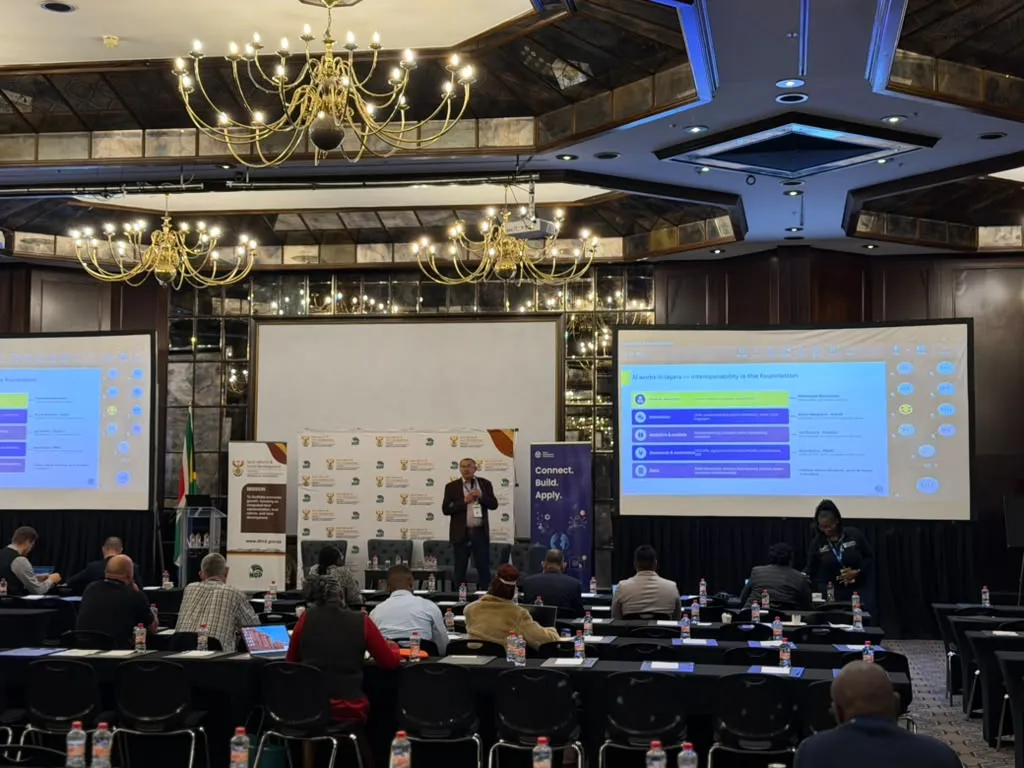
Karel Charvát discussing interoperability and open standards during the Agriculture DWG programme
From Conference Dialogue to Rural Impact
The Cape Town exchange demonstrated how GeoAI can become more useful when intelligent interfaces are connected to open standards, quality-assured data and local expertise. For PoliRuralPlus, the presentation of JackDaw offered an opportunity to contribute practical experience to an international discussion on the next generation of trustworthy, human-centred geospatial services.
OGC Connect Cape Town: https://www.ogc.org/event/ogc-connect-cape-town/
PoliRuralPlus: https://www.poliruralplus.eu/
Existující komentáře