
How do we transform an intensive agricultural landscape to drastically reduce nitrogen pollution, while ensuring farmers remain economically viable? To solve complex spatial challenges like this, future planners and rural innovators need tools that bridge the gap between abstract data and actionable insights.
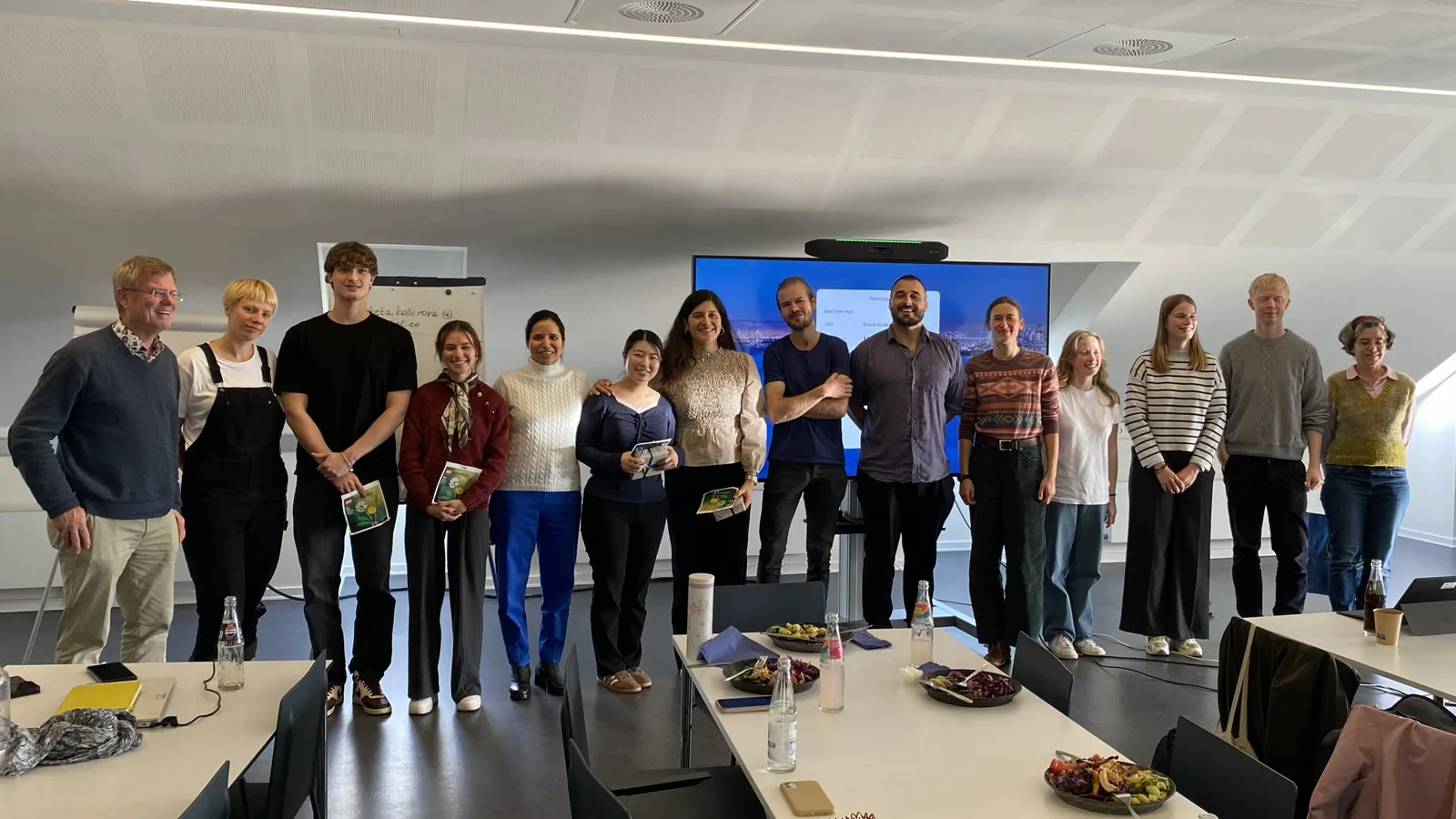
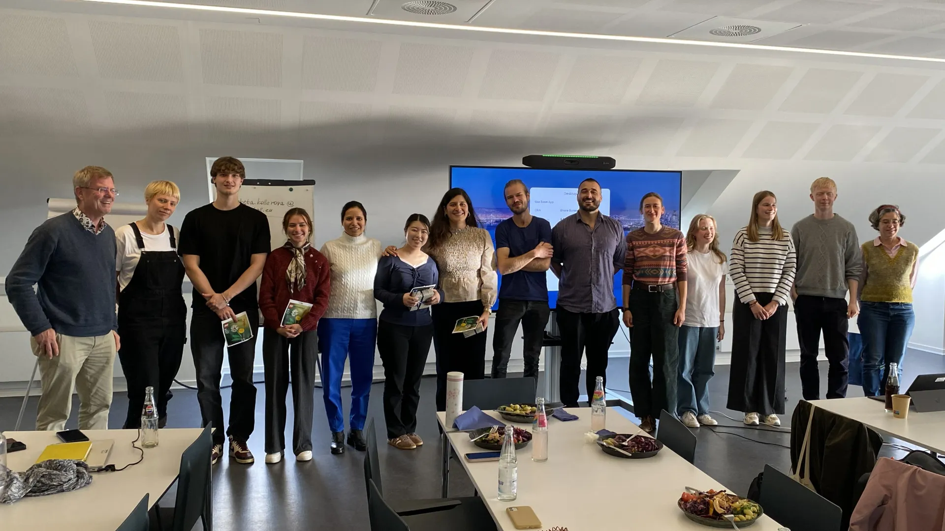
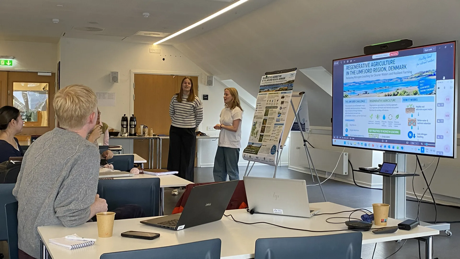
On October 22–23, the PoliRuralPlus project was proud to support the trans4num INSPIRE Hackathon 2026, hosted physically at Aarhus University in Denmark and virtually worldwide. During this intensive two-day event, multidisciplinary teams used our JackDaw GeoAI Assistant to design systemic, nature-based landscape solutions for Denmark’s vulnerable Limfjord catchment.
The Limfjord Challenge
The hackathon tasked participants with a massive challenge: Designing a "Future Landscape Concept" for the Limfjord region. As one of Denmark’s most vulnerable aquatic ecosystems, the Limfjord faces severe nitrogen leaching from surrounding intensive agriculture. Teams had to propose realistic interventions - such as constructed wetlands, perennial grass rotations, and agroforestry - that balanced the EU’s Zero Pollution Action Plan with the economic realities of local farmers.
But to place these Nature-Based Solutions (NBS) effectively, teams needed deep spatial intelligence.
Enter JackDaw: Democratizing Spatial Intelligence
To ground their proposals in empirical data, participants were equipped with a dedicated digital toolbox, prominently featuring the JackDaw GeoAI Assistant developed by PoliRuralPlus.
Guided by Filip Leitner (Plan4all), teams utilized JackDaw to navigate complex regional datasets without needing to be expert GIS programmers. By querying JackDaw using natural language, participants were able to:
- Explore the Landscape: Identify dominant crops, soil vulnerabilities, and baseline characteristics across the Limfjord micro-catchments.
- Target Interventions: Pinpoint optimal geographical placements for Nature-Based Solutions based on water flow, topography, and existing infrastructure (like green biorefineries).
- Challenge Assumptions: Cross-reference their agronomic ideas with real-time policy guidelines and spatial evidence.
Rather than acting as a simple search engine, JackDaw functioned as an interactive research partner. Teams followed a structured workflow to Ask spatial questions, Explore local patterns, and Connect the AI's findings directly to their landscape designs.
Spatially-Driven Winning Solutions
The spatial insights generated by JackDaw and the hackathon's digital toolbox directly informed the winning solutions presented to the international jury:
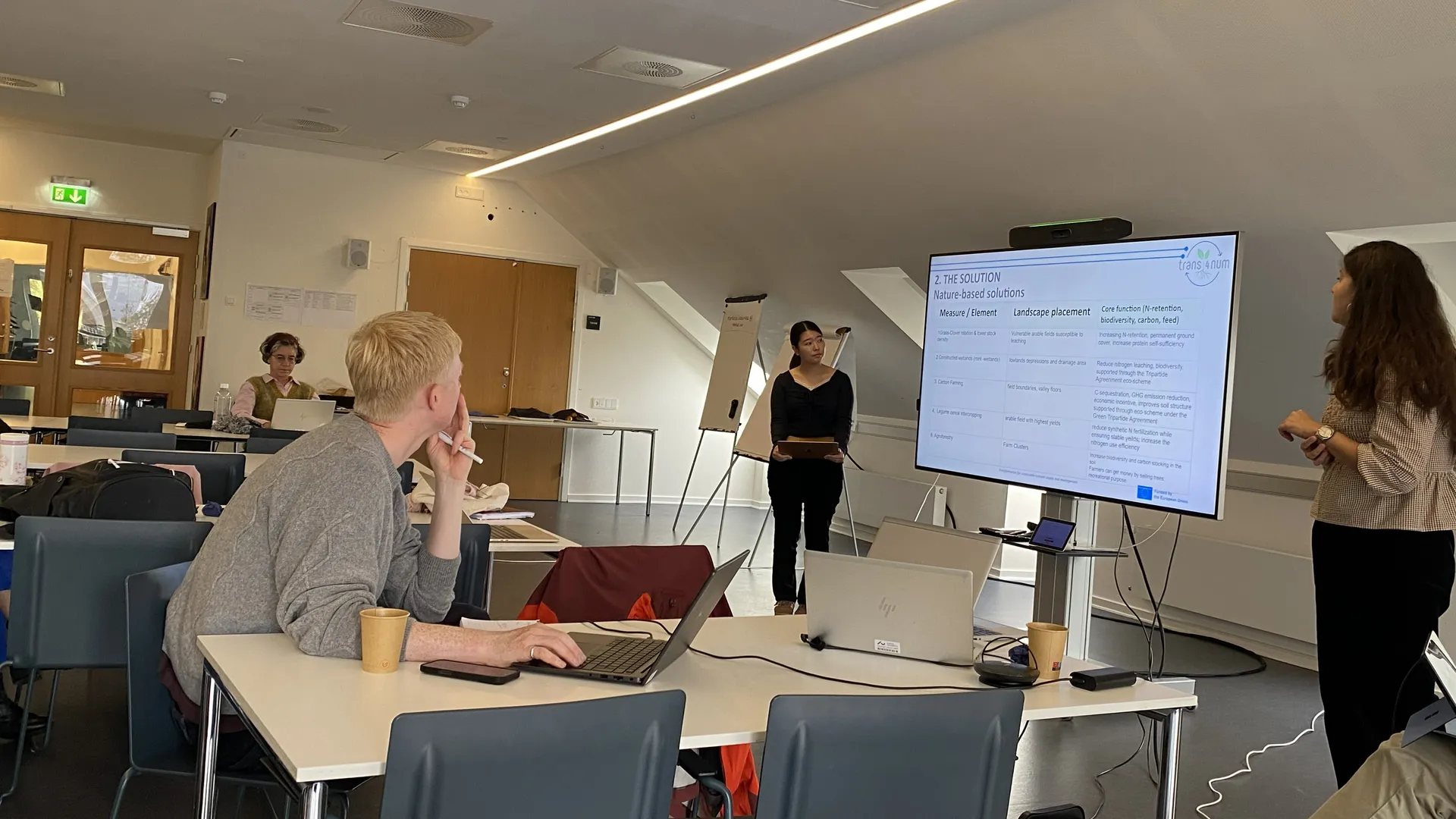
- 🥇 Team Meguri (Gold): Designed a targeted spatial distribution placing grass-clover rotations on vulnerable soils and mini-wetlands in specific drainage depressions, underpinned by a farmer-first economic transition model.
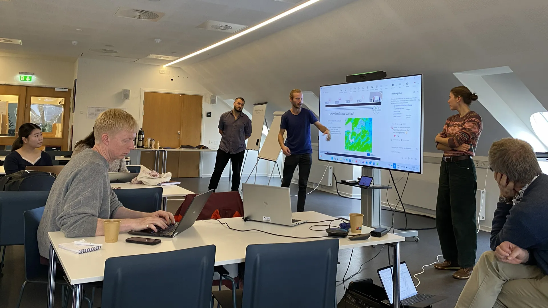
- 🥈 Team Low-Hanging Fruit (Silver): Developed a highly spatial "terraced" topographical gradient strategy, identifying precise sub-catchment zones for runoff retention (uplands), deep-rooted biorefinery feedstocks (midlands), and final denitrification filters (lowlands).
Validating GeoAI in the Field
Beyond the innovative landscape designs, the hackathon served as a crucial real-world stress test for JackDaw. Deploying the tool in a time-constrained, multidisciplinary environment proved its immense value.
Participants noted that while applying AI to complex agroecological scenarios requires critical thinking, tools like JackDaw hold significant promise as a "bridge" technology. By translating raw geospatial data into accessible, localized realities, JackDaw empowers farmers, agronomists, and regional planners to make evidence-based decisions about their land.
PoliRuralPlus is thrilled to have contributed to the success of the trans4num INSPIRE Hackathon. The insights gathered from this rigorous user testing will help us continue to refine JackDaw, ensuring it remains a cutting-edge asset for collaborative rural and regional planning across Europe.

Existing Comments