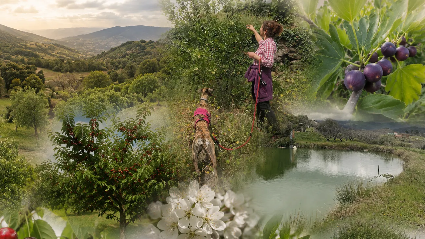
Since this spring, visitors to Aires de la Vera carry something new in their pocket: direct access to JackDaw, the GeoAI agent of PoliRuralPlus, from inside the estate's app. They can ask it contextualised questions about wherever they are — what can I do nearby this afternoon? why does this landscape look the way it does? — and the answer arrives in natural language, aware of their location, their surroundings and even what the weather is doing. Behind that conversation are six months of work by the AGROJACK team.
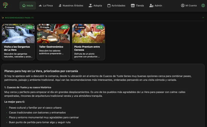
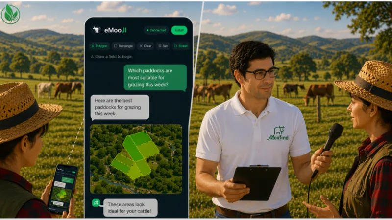
Figure 1 Personalized recommendations through Aires de la Vera platform
One integration, two very different audiences. Our estate in La Vera (Extremadura) is both an agrotourism destination and a working fruit farm with more than 1,500 cherry, fig, plum, chestnut and olive trees. Agrotourism is often described as a diversification strategy for farms; for us it is also a communication channel — every visitor who adopts a cherry tree through our app, books an activity or walks our QR-coded routes is someone who leaves understanding a little more about how food is grown and why regenerative practices matter. That duality is exactly what made the estate a good living lab for the Enhance Call: the same AI agent had to serve a family planning their visit and a farm manager deciding whether to irrigate tonight.
The tourism side: an app that answers back. The Aires de la Vera app was already the digital companion of the estate — tree adoption, activity booking, multimedia content from the farm. AGROJACK added conversation: the app now gives every visitor direct access to JackDaw for contextualised questions about the area and the estate, and for recommendations of nearby activities tailored to their profile, location and context (time of day, weather). The QR codes placed next to the trees add one more entry point: scanning one brings up additional information about that particular tree — its age, what it gives back to the soil, why the grass around it is left uncut.
The agricultural side: AgroSens finds its voice. The farm runs on data from AgroSens, our environmental sensing platform. AgroSens is multi-user: each farm on the platform manages its own network of probes — as many as it needs. At Aires de la Vera we operate six LoRaWAN soil probes installed at two depths, measuring pH, electrical conductivity (EC), NPK nutrient levels, soil moisture, temperature and salinity. Two depths, because surface readings lie — what matters is the root zone. pH and electrical conductivity, because they silently govern how well nutrients are absorbed. Salinity, because in irrigated Mediterranean agriculture it creeps up on you. Until now, using that data meant reading charts. With JackDaw connected, the farm manager asks "should I irrigate tonight?" and gets an answer that has already looked at the nearest probe's moisture profile, the weather and the season — in plain Spanish, with the reasoning attached.
How it works underneath. We built a small, self-hosted MCP (Model Context Protocol) server in Python that exposes our data — QR points, activities, visitor profiles and live AgroSens readings — as tools JackDaw calls on its own. Our app talks to the JackDaw Chat API; JackDaw talks to our farm. When a question needs farm data, it calls the tool, gets an interpreted result and blends it with its native geospatial services: terrain, land cover, historical climatology. No dashboards were harmed — they are still there for the specialists; conversation is simply a better interface for everyone else.
What we learned. Three structured validation sessions with 24 visitors showed that people with no technical background engage naturally with location-aware conversation — around 50 analysed interactions, averaging two per participant and almost 200 over the whole testing period. On the agricultural side, more than 15 interactions have been registered, and when we showed the system to neighbouring farmers, three asked to have the sensors installed on their own land for a demonstration. We also produced concrete technical feedback for the JackDaw team, from tool-design lessons to documentation gaps we hit along the way.
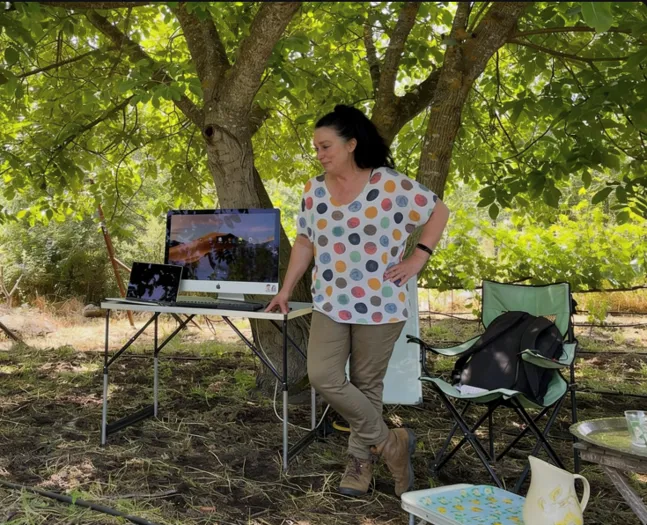
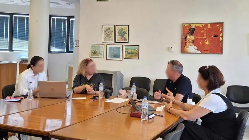
Figure 2 Agrisensors workshop for farmers
What comes next. The integration stays under controlled scenario at Aires de la Vera, and our public validation report documents two replication pathways — for agrotourism SMEs and for sensor-equipped farms or cooperatives. Because AgroSens is multi-user, the neighbouring farms that requested demonstrations can be onboarded onto our own platform, each with their own plots and probes. If a 1,500-tree estate in rural Extremadura can give its farm a voice in a few months, so can many others across rural Europe.
This project has received funding from the European Union's Horizon Europe research and innovation programme PoliRuralPlus.
PoliRuralPlus has received funding from the European Union’s Horizon Europe research and innovation programme under Grant Agreement No. 101136910. Views and opinions expressed are however those of the author(s) only and do not necessarily reflect those of the European Union or the European Research Executive Agency. Neither the European Union nor the granting authority can be held responsible for them.
Existing Comments