News
Topics
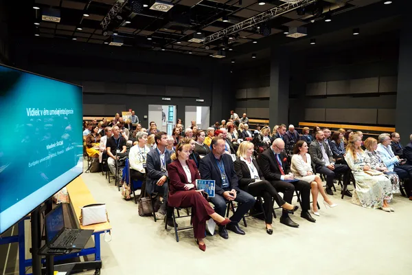
Slovak Rural Forum 2026: Shaping the Future of Rural Areas in the Age of Artificial Intelligence
Exploring how responsible AI, digital innovation and strong communities can shape a resilient and sustainable future for rural Europe
8 Deireadh Fómhair 2026 • Marieta Okenková, Slovak University of Agriculture
Nitra, Slovakia, 1 October 2026 - How will artificial intelligence reshape rural life, agriculture, public services and local communities? And how can rural areas benefit from AI while p
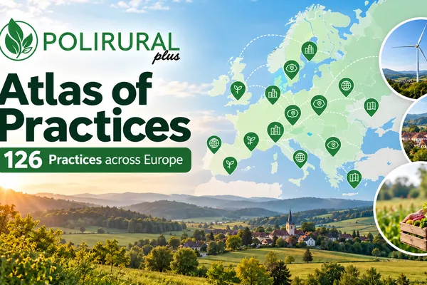
From Project Results to Reusable Knowledge: Explore the PoliRuralPlus Atlas of Practices
Connecting places, people and ideas – 126 practices showing rural innovation in action across Europe
5 Deireadh Fómhair 2026 • Sarka Horakova (CCSS)
PoliRuralPlus is generating a wealth of knowledge across Europe – from digital tools and new approaches to rural development to regional cooperation models, pilot activities, Open Call projects and p
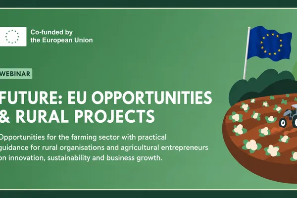
Upcoming Webinar: Funding the Future – EU Funding Opportunities for Farmers and Rural Projects
The Malta Pilot invites farmers, rural businesses, agribusinesses, SMEs, start-ups, researchers, rural organisations & all those interested in rural innovation to join a free online webinar on EU funding opportunities for agriculture and rural projects
3 Meán Fómhair 2026 • Maria Elena Muscat
On 3 September 2026 at 17:30 CEST, PoliRuralPlus Malta Pilot will host “Funding the Future: EU Funding Opportunities for Farmers and Rural Projects,” the second session in its four-part event series
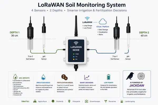
When farmers ask for more: AGROJACK's neighbours want JackDaw on their own farms
2 Lúnasa 2026 • Roberto Gimenez, Espacio SOA SLU
The best validation evidence is not a questionnaire — it is a request. During the final phase of the AGROJACK project, more than a dozen farmers from the La Vera area joined informal on-farm sessions
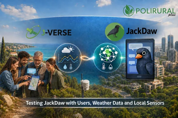
Testing JackDaw in Cyprus: What users, weather data and local sensors revealed
2 Lúnasa 2026 • Maria Maslioukova, Catalink
GeoAI tools can make geographic and environmental information easier to explore through everyday questions. However, a quick and clearly written answer is not necessarily a complete or reliable one.
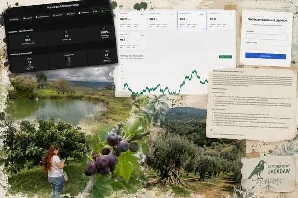
AGROJACK completes its validation of JackDaw GeoAI at the Aires de la Vera estate
31 Iúil 2026 • Roberto Gimenez, Espacio SOA SLU
AGROJACK, one of the seven winners of the PoliRuralPlus Enhance Call, has completed its six-month validation of JackDaw, the GeoAI conversational agent of PoliRuralPlus, at the Aires de la Vera estat
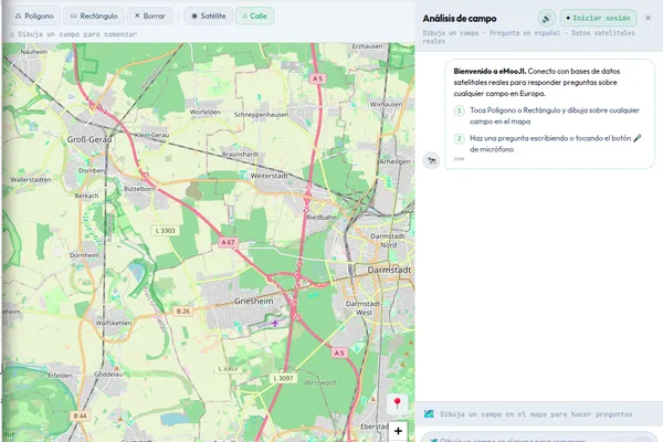
MooFind launches eMooJI: A Multilingual Progressive Web Interface for the JackDaw GeoAI Platform
28 Iúil 2026 • Jeet Biswas, Moofind UG
MooFind UG has completed the six-month eMooJI project, implemented from February to July 2026 under the PoliRuralPlus ENHANCE Call. The ENHANCE Call supported practical projects that apply, test and
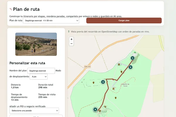
ARISE concludes with a live digital platform for heritage-led rural development
The final results connect Roman heritage, rural businesses, visitor planning and stakeholder coordination in Sierra y Mancha Conquense, while providing a reusable model for other rural territories.
27 Iúil 2026 • Pedro Branco, Obsidian Innovation Institute
ARISE - Archaeological Routes for Inclusive Synergy & Entrepreneurship in Sierra y Mancha Conquense - has completed its nine-month implementation period within PoliRuralPlus and delivered a live
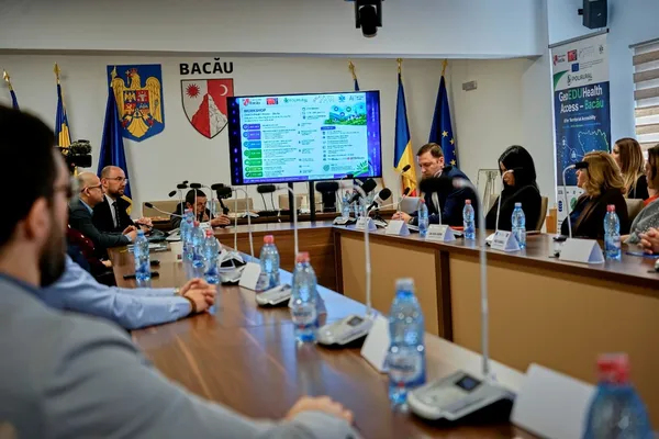
Bacău, the first territory in Romania where a European artificial intelligence solution has been validated under real conditions
27 Iúil 2026 • Constantin Avrămescu, SC MEDIA TREND SRL
For six months, two IT specialists from Bacău tested, together with the county's institutions, a European technology that measures how close citizens truly are to a school, a hospital, and a good roa
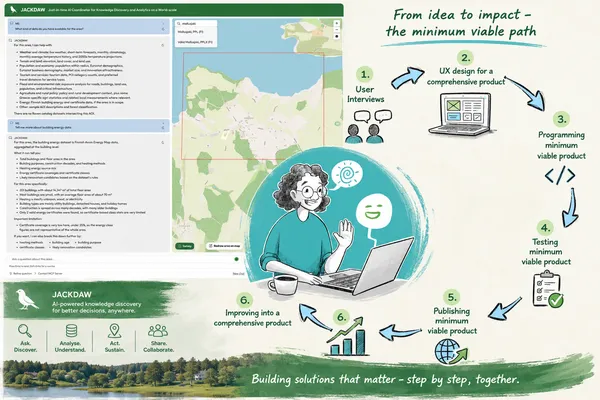
Avoin Map project completes three pilot services for sustainable rural development
24 Iúil 2026 • Avoin Map Oy, Otso Valta
The Avoin Map project has completed its work under the PoliRuralPlus Develop Call, delivering three open-source pilot services for the Mallusjoki region in Finland: Energy Map, Zoning Map and Activit