
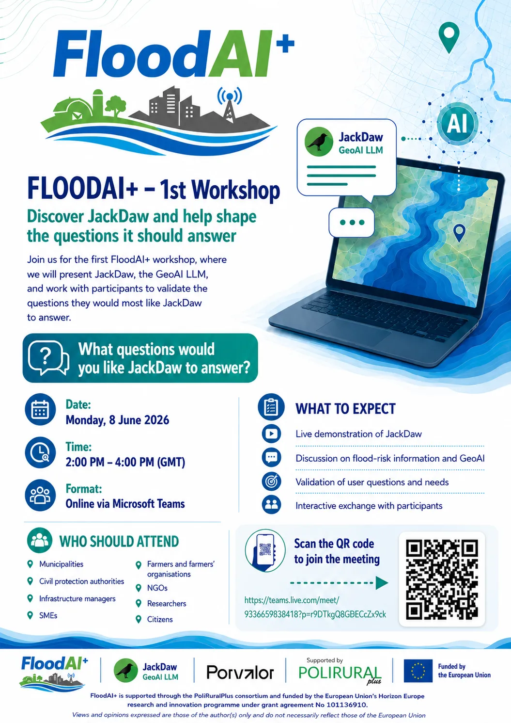
We are pleased to invite you to the FloodAI+ 1 st Workshop, taking place online on
Monday, 8 June 2026, from 2:00 PM to 4:00 PM (GMT).
FloodAI+ explores how GeoAI and conversational artificial intelligence can support
rural–urban flood resilience by making complex flood-risk maps, GIS layers, satellite
data, and vulnerability information easier to understand and use.
During this first workshop, we will introduce the FloodAI+ project and demonstrate how
the JackDaw GeoAI chatbot can help stakeholders ask natural-language questions
about flood exposure, interpret geospatial information, and support more inclusive
climate adaptation and resilience planning.
The session is especially relevant for municipalities, civil protection authorities,
infrastructure managers, SMEs, farmers’ organisations, NGOs, researchers, and
citizens interested in flood-risk management, territorial resilience, and AI-supported
decision-making.
Workshop details:
Title: FloodAI+ – 1st Workshop
Date: Monday, 8 June 2026
Time: 2:00 PM – 4:00 PM (GMT)
Format: Online via Microsoft Teams
Meeting link: Teams link
For more information, please contact:
Ana Silva, Principal Investigator, FloodAI+ - as@porvalor.pt
Oliver Crespo, R&D Manager, Porvalor - oc@porvalor.pt
We would be delighted to have your participation and feedback as we validate FloodAI+
and explore how GeoAI tools can better serve rural and urban communities facing flood-
risk challenges.
We look forward to welcoming you and hearing the questions you would like JackDaw
to answer.
FloodAI+ Team
This project has received funding from the European Union's Horizon Europe research and innovation programme PoliRuralPlus.
PoliRuralPlus has received funding from the European Union’s Horizon Europe research and innovation programme under Grant Agreement No. 101136910. Views and opinions expressed are however those of the author(s) only and do not necessarily reflect those of the European Union or the European Research Executive Agency. Neither the European Union nor the granting authority can be held responsible for them.


Existující komentáře