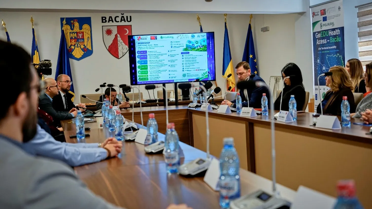
For six months, two IT specialists from Bacău tested, together with the county's institutions, a European technology that measures how close citizens truly are to a school, a hospital, and a good road. The GeoEDUHealth Access - Bacău project, the only one in Romania selected under the European ENHANCE call, concluded with a final validation at the Bacău County Council, in the presence of MEP Dragoș Adrian Benea, Chair of the European Parliament's Committee on Regional Development (REGI)
Bacău County has become the first territory in Romania where a European geospatial artificial intelligence solution has been tested and validated under real conditions, to support public decisions on citizens' access to education, healthcare and road infrastructure. The GeoEDUHealth Access - Bacău project, implemented by the Bacău-based company MEDIA TREND SRL, concluded its validation process with a second workshop, hosted by the Bacău County Council on 29 June 2026.
The project was the only one in Romania selected under the European ENHANCE call, part of the Horizon Europe programme through the PoliRuralPlus initiative. Out of more than 200 applications submitted at European level, only seven received funding, and the proposal submitted by the two IT specialists from Bacău – Constantin Avrămescu, founder of MEDIA TREND, and Alexandru-Norbert Droiman - ranked second. The funding reached Bacău through a European “cascade” mechanism: Horizon Europe → PoliRuralPlus → the ENHANCE call.
A simple problem, but a difficult one to solve
The idea behind the project starts from an observation that seems simple but is essential: access to a public service does not only mean that a school or a hospital exists, but also how quickly a citizen can reach it. In a county where around 70% of the population lives in rural areas, and dozens of communes are more than 30 minutes' drive from the nearest hospital or high school, this difference weighs heavily on people's lives.
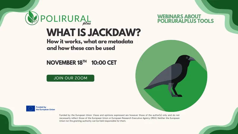
Classic mapping tools already existed, but they produce static images and require specialist expertise – in practice, they are accessible only to GIS specialists. This is where JackDaw comes in, a geospatial artificial intelligence platform developed by the partners within the PoliRuralPlus consortium. The major difference: the user can ask questions in natural language, in Romanian or English, as in an ordinary conversation, and the system translates them into geospatial analyses and responds with maps.
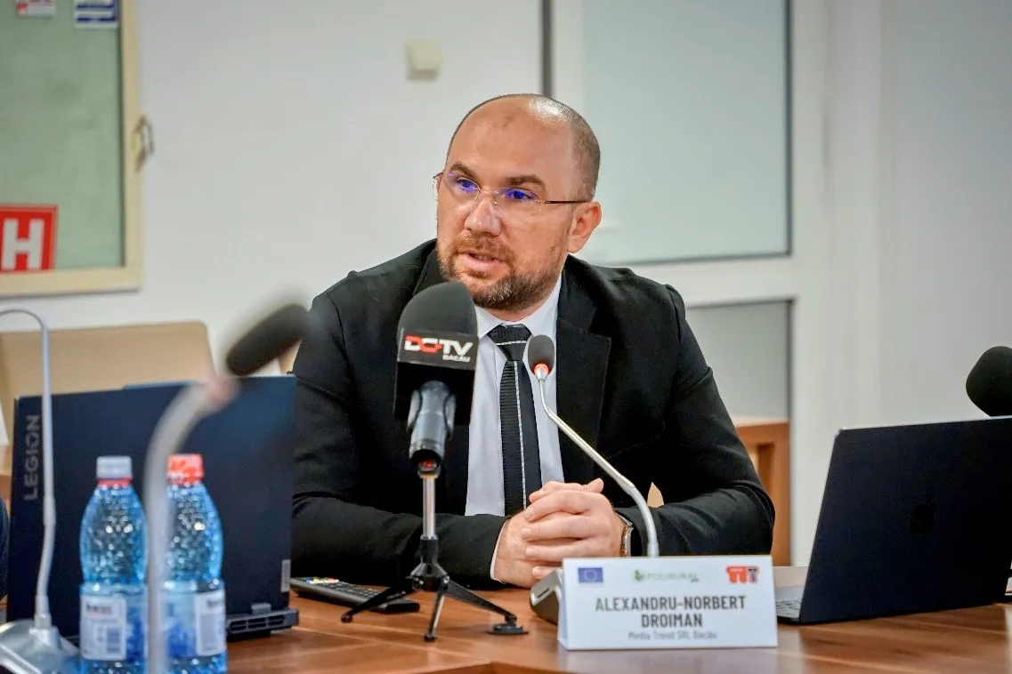
„Today we did not validate a piece of software, but the capacity of artificial intelligence to support institutional decision-making. Access to services does not only mean that a school or a hospital exists, but the real time it takes a citizen to reach them.”
- Alexandru-Norbert Droiman, Project Manager, MEDIA TREND SRL
How the validation took place
The process spanned six months and started from the county's real data. The team obtained formal cooperation agreements from the Bacău County Council, the County School Inspectorate and the Public Health Directorate, and on this basis built datasets on the school network, healthcare units and the road network – supplemented and verified with open sources. The data was then uploaded to the platform and queried.
The validation had two public milestones. At the first workshop, on 27 April 2026, the solution was presented to partner institutions through live demonstrations, and the team was transparent about the stage of development: results depend on data quality and on how questions are phrased. Participants' observations were continuously relayed to the developers in Prague, who responded promptly - an important update was delivered just before the event. The second workshop, on 29 June, marked the final validation and the presentation of consolidated results.
What questions can it actually answer
The solution's usefulness is best illustrated by the questions tested live - the kind of questions a mayor or a hospital director asks themselves, but rarely has a quick, data-based answer to:
- „If an ambulance leaves from the municipality of Bacău, how many communes cannot be reached in under 30 minutes, ranked by population?”
- „How many students in the county travel more than 30 minutes a day to the nearest high school, and in which communes are they concentrated?”
- „Which segment of the county road network, if modernised, would most reduce students' isolation?”
- „If a new medical centre opens in a commune, by how much does the number of residents more than 30 minutes from a medical service decrease?”
All these analyses were based on isochrones - maps showing how far one can actually travel within a given number of minutes on real roads, taking into account the road network, terrain, road quality and speed limits. Unlike a simple radius drawn on a map, the isochrone reflects the reality of travel. One participant vividly summed up the solution's potential for territorial planning by saying „the sky's the limit.”
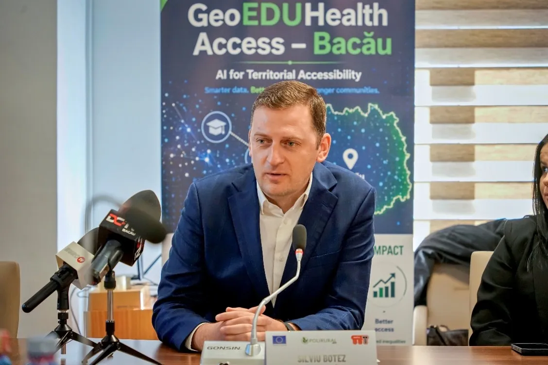
„By adopting this integrated approach, Bacău County strengthens its position as a pilot territory in the intelligent use of technology.”
– Silviu Botez, Bacău County Council
The Bacău County Council highlighted the complementarity between GeoEDUHealth Access and the European AI4Citizens project, in which the institution is a partner: one demonstrates concrete, data-based application, while the other outlines the strategic framework for the use of artificial intelligence in public administration.
Education: where students struggle to reach
For the education sector, the analysis focused on the county's school network and students' travel times, with the aim of identifying isolated localities and optimising school transport routes. Representatives from the sector viewed the technology both as a planning tool and as an opportunity to modernise public decision-making. The director of Ardeoani Secondary School proposed a concrete use case: correlating the school network with next year's enrolment plan, directly on the map.
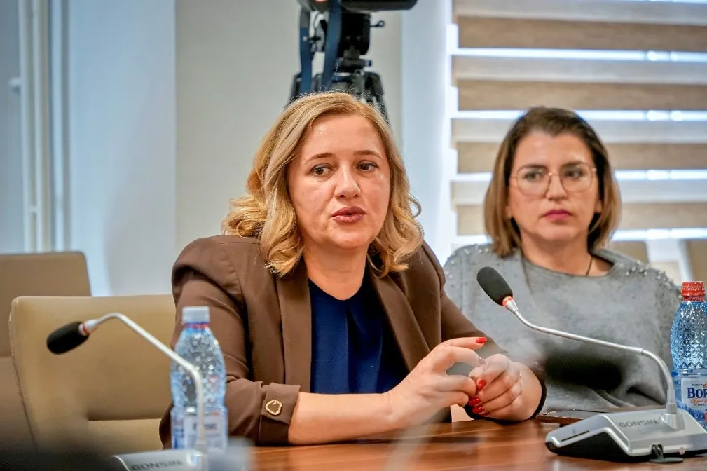
„We must all become aware of the usefulness of artificial-intelligence-based tools, which can bring significant added value to improving the quality of public services.”
- Ana-Maria Egarmin, School Inspector General, Bacău County School Inspectorate
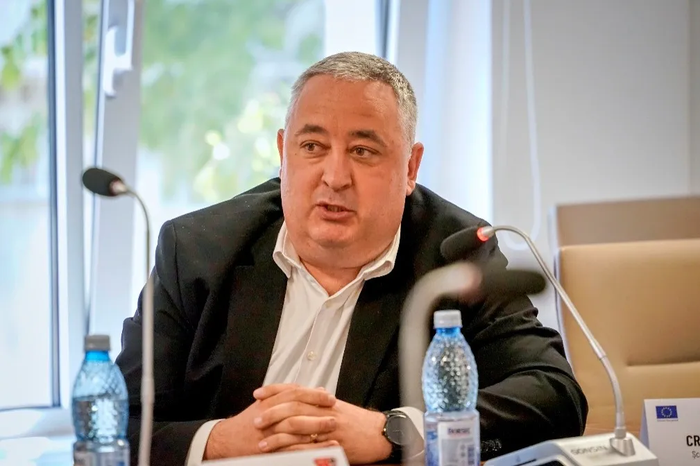
„It would be a concrete and immediate use case if the school network could be visualised on a map and queried against next year's enrolment plan - real support for school directors and inspectors.”
- Cristi Apetri, Director, Ardeoani Secondary School
Healthcare: from map to decision
In the healthcare sector, the analysis started from the county's medical system, centred on the County Emergency Hospital - which alone serves almost half of the population - complemented by the units in Onești, Moinești, Comănești and Buhuși. Representatives of the healthcare system showed practical interest: supporting staff through AI tools, preventing adverse events, and analysing territorial access to medical services for the rural population.
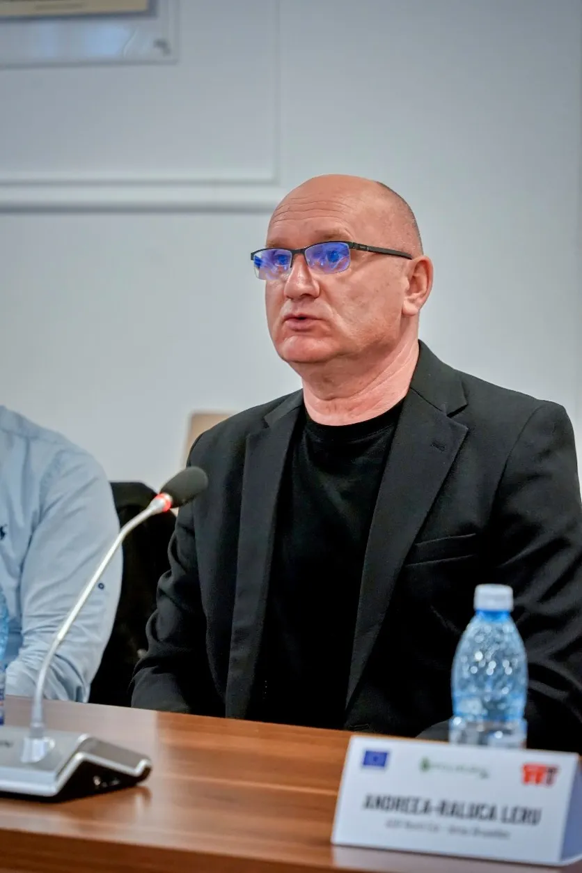
„For us, artificial intelligence has become not just a wish, but a necessity. We have seen the benefits of using it, and we are interested in everything related to digitalisation.”
– Poiană Constantin, Manager, „Prof. Dr. Eduard Apetrei” Hospital, Buhuși
Academia: looking to the future
„Vasile Alecsandri” University of Bacău was present at the discussions and proposed future developments of the solution. Faculty members and researchers Dragoș-Alexandru Andrioaia and Vlad-Andrei Cojocariu raised the idea of integrating near-real-time traffic data, drawing on examples such as Waze or Google Maps. Constantin Avrămescu explained that the platform can connect to real-time data sources, requesting information only when truly needed – a direction received with interest by representatives of the academic community, who saw in it an opportunity for research collaboration.
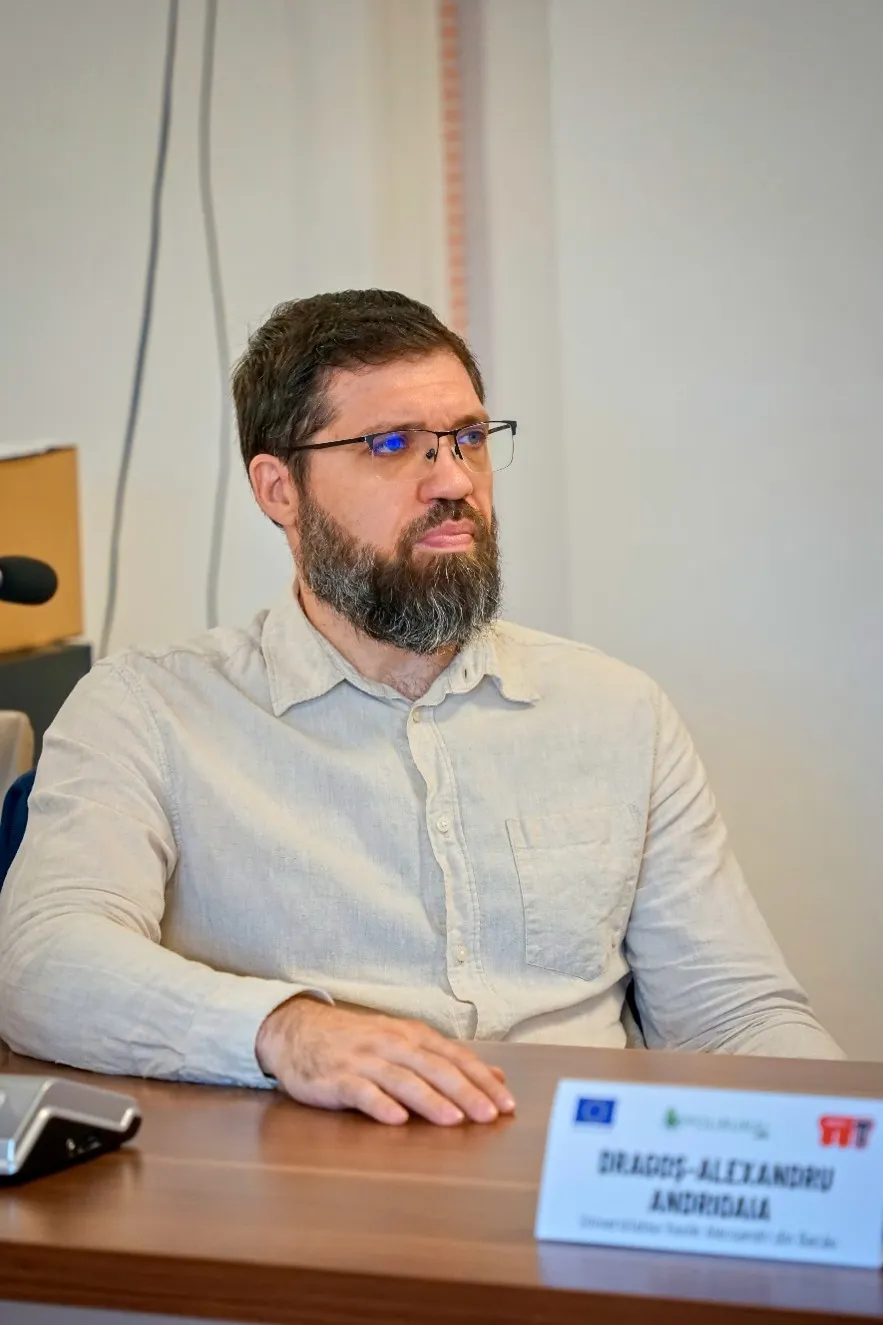
„As an academic community, we see in such tools not only a resource for administration, but also an opportunity for research and long-term collaboration.”
– Conf. Prof. Dr. Eng., Ciubotariu Vlad Andrei, „Vasile Alecsandri” University Bacău
Results and added value
The results confirmed that the platform can produce analyses comparable to those of classic mapping tools, but much faster and without requiring technical expertise – an essential advantage for public institutions, which do not always have geospatial analysis specialists. Equally important, the solution remains in an active validation stage: every limitation identified was documented and passed on to the technical team at the Czech Technical University in Prague, in a close collaboration that led to rapid improvements to the platform.
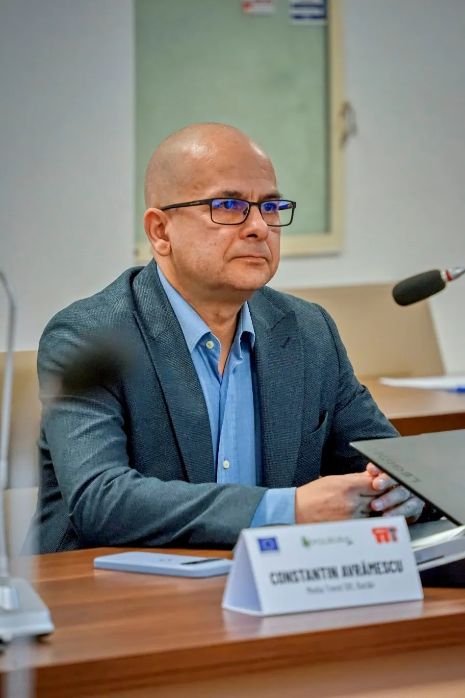
„Classic GIS tools are indisputable, but using platforms such as JackDaw democratises access to local data: there is no longer a need for GIS specialists in every institution that needs this kind of information and tools.”
– Constantin Avrămescu, General Director, MEDIA TREND SRL
The European stakes
The closing event, on 29 June, brought together representatives of public administration, education, healthcare and academia, alongside MEP Dragoș Adrian Benea, Chair of the European Parliament's Committee on Regional Development (REGI). Representatives of the North-East Regional Development Agency presented European funding prospects for such initiatives, emphasising that the project aligns with the priorities of cohesion policy and the principles of the EU Artificial Intelligence Act (AI Act).
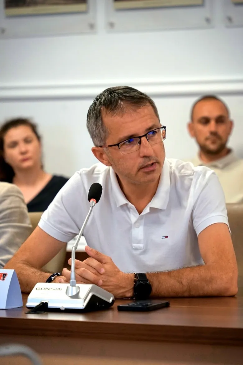
„The adoption of AI solutions in Bacău's administration - on the principle that the sooner, the better - should not be viewed with reluctance. Bacău is becoming the first county in Romania where such a solution has been validated for access to education, healthcare and road infrastructure.”
- Dragoș Adrian Benea, Member of the European Parliament, Chair of the REGI Committee, European Parliament
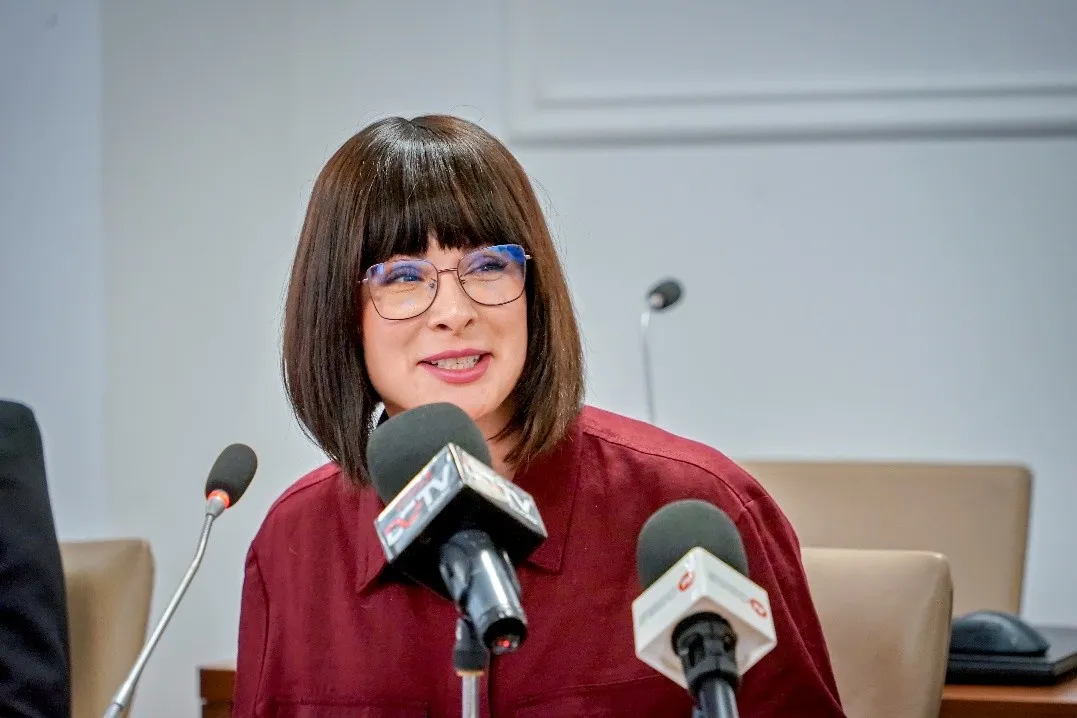
„In Bacău we are testing a data-driven, results-oriented working model that can be replicated in other territories of the European Union, contributing directly to reducing the disparities between urban and rural areas.”
- Andreea-Raluca Leru, Brussels Representation Office, ADR Nord-Est
Through what it has achieved, Bacău County positions itself among the first administrations in Eastern Europe to adopt planning tools based on artificial intelligence and data - a model that could also inspire other regions in Romania and the European Union.
This project has received funding from the European Union's Horizon Europe research and innovation programme PoliRuralPlus.
PoliRuralPlus has received funding from the European Union’s Horizon Europe research and innovation programme under Grant Agreement No. 101136910. Views and opinions expressed are however those of the author(s) only and do not necessarily reflect those of the European Union or the European Research Executive Agency. Neither the European Union nor the granting authority can be held responsible for them.


Existující komentáře