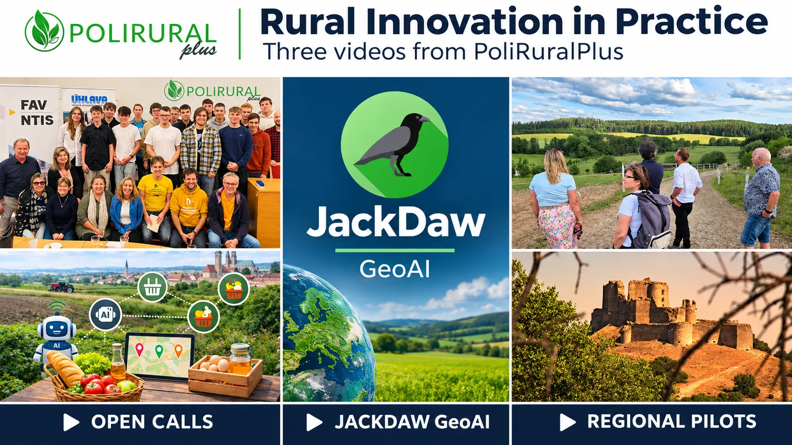
How can a local challenge become a digital application? How can a question in everyday language open the door to geospatial analysis? And how can communities turn a shared vision for their region into a plan for action?
Three PoliRuralPlus videos explore these questions through examples from the project’s Open Calls, the development of JackDaw and the work of nine pilot regions. Together, they show how stakeholder participation, digital innovation and geographic information can support more informed rural–urban development.
Presented in D7.5 Practice Abstracts – batch 2, the videos share practical knowledge with local and regional authorities, community organisations, businesses, advisers, researchers and developers. Each offers a different entry point into the project’s work and ideas that other territories can explore.
Open Calls Connecting Local Needs with Digital Innovation
Watch PoliRuralPlus Open Calls in Practice
Rural innovation begins with understanding what people and places need. The Open Call video follows the PoliRuralPlus pathway through four stages: Outreach, Mobilise, Develop and Enhance. It explains how identifying local priorities, bringing people together, developing prototypes and testing applications can connect regional challenges with technical expertise.
Three examples illustrate the range of applications emerging from this process:
LocalLinks.AI. In the Czech–Bavarian border area, an AI-assisted mapping framework developed with farmers and local action groups makes connections between producers and sales outlets more visible. The example explores how geographic information can help actors understand local food networks and identify opportunities for cooperation.
Avoin-Map. In Mallusjoki, Finland, geospatial services support building energy assessment and land-use carbon analysis. Scenario comparisons inform plans to transform a village hall into a Green Culture Centre, providing shared evidence for community organisations, architects and municipal planners.
SYLVAN-AI. This example connects JackDaw with cadastral information to support forestry-related spatial checks. It illustrates how automated data retrieval and analysis can assist professional review.
For other regions, the value lies in the innovation process as well as the individual applications: start from local needs, involve the people concerned and test solutions against the conditions in which they will be used.
JackDaw Exploring Geographic Information Through Conversation
Watch JackDaw — A Geospatial AI Agent
Select an area on a map, ask a question and explore an answer supported by retrieved data and geographic visualisation. The JackDaw video introduces the conversational geospatial AI agent developed within PoliRuralPlus and explains how natural language can provide an entry point to established analytical workflows.
JackDaw connects maps, external datasets and documentary knowledge with geospatial tools. Users can locate places, change map views and add information layers, while analytical functions support questions about environmental conditions, routes, service coverage and accessibility.
For planners, advisers, environmental managers and GIS specialists, this creates opportunities to explore information through conversation while drawing on geographic analysis. A dedicated GIS mode also addresses the needs of experienced users.
The video keeps a clear focus on reliability. Useful answers depend on identifiable sources, suitable data and careful interpretation. Spatial coverage, observation dates and analytical assumptions still need to be checked, and human expertise remains central to decisions about places and communities.
Nine Pilot Regions Turning Shared Visions into Action
Watch From Co-Creation to Action
How can participation continue beyond a consultation and shape what happens next? The pilot video explores how nine European regions connect local needs and shared visions with Regional Action Plans, implementation and monitoring.
Authorities, businesses, researchers, community organisations and citizens contribute to identifying priorities and exploring possible futures. Regional Action Plans then connect those priorities with responsibilities, practical actions, funding opportunities, digital tools and indicators.
The video takes a closer look at three examples:
County Monaghan, Ireland. Stakeholder cooperation informs a Regional Action Plan centred on a proposed Regional Circular Economy Hub, intended to support reuse, waste-to-resource solutions, green entrepreneurship and community energy.
Slovakia. Building on Slovakia’s Vision for More Attractive Rural Areas 2040, recurring conferences and consultations maintain dialogue between public institutions, researchers, rural organisations and communities. The example highlights the importance of sustained participation in rural policy.
Sierra y Mancha Conquense, Spain. With ADESIMAN as a coordinating actor, the Regional Action Plan connects initiatives across 56 municipalities. Energy, heritage, entrepreneurship, services and territorial data contribute to a shared approach to regional resilience.
Across the nine pilots, the practical message is to maintain cooperation during implementation, assign clear responsibilities and use evidence to review plans as circumstances change.
Practical Knowledge to Share and Adapt
The three videos bring together complementary perspectives on rural innovation: how to organise collaboration, how to develop applications around local priorities and how to use geospatial information in decision-making. They can support workshops, training, project presentations and exchanges between regions.
We invite you to watch the videos and consider which approaches could be relevant to your own work. Adapting an idea to another territory starts with understanding its local context, available data and organisational capacity.



Existing Comments