Services
PoliRuralPlus Services

Advisor
Interactive analysis of the PoliRuralPlus Knowledge Space to support pilots with their RAPs.

Jackdaw
An AI chat agent that empowers pilot leaders and stakeholders to interactively undertake map-based analysis for their region based on the best data that can be found about it.
MAATool
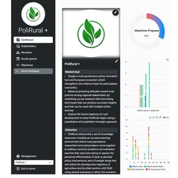
A collaborative platform that facilitates stakeholders’ engagement, data integration, and co-creation for developing and implementing Regional Action Plans (RAPs).

Magpie
Searches an AI catalogue for a region.

Vulture
User-driven co-design environment to support the transformation of planning & policy work using AI & automation tools.

Reference database
Browse and search references in a comprehensive catalogue
Complementary Services
NEB Dashboard
New European Bauhaus (NEB) projects, activities, members & community developments by region.

EU Funding Finder
Guide to EU funding & development resources for rural areas.

TOOLS4CAP
Toolbox to design, implement & monitor CAP Strategic Plans

Rural Pact Community Platform
Latest on the Rural Pact & revitalisation, connect with peers & get inspired

Decision Matrix
PROSPECT+ Tool to explore innovative financing for climate & sustainability actions.

EDIH
Explore the map of European Digital Innovation Hubs.

AKIS Training
AKISConnect Training modules on Agricultural Knowledge & Innovation Systems (AKIS)

OECD Local Data Portal
Map explore subnational data with >100 indicators across 10 key themes

Regional Well-Being
Explore the map to find the quality of life across OECD regions.
Recovery & Resilience Facility (RRF)
Explore Map of projects funded by the EU RRF

Regional Statistics Explorer
Explore extensive & definitive socio-economic & territorial data across all EU regions.

Smart Specialisation Platform
Explore Regional innovation strategies & priorities across the EU

Climate Solutions Simulator
Evaluate how your RAP aligns with climate commitments (e.g., EU Green Deal).

Regional Innovation Scoreboard
Interactive map to explore the research & innovation performance of your region & RAP.
