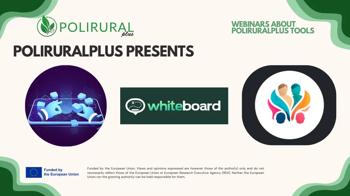
The PoliRuralPlus webinar series continues with three exciting sessions dedicated to exploring interactive mapping, AI-assisted collaboration, and spatially enhanced generative AI. Each session highlights how the PoliRuralPlus tools ecosystem supports data-driven analysis, participatory processes, and smarter regional planning.
🗓️ Tuesday, 9 December 2025 – 10:00 CET add to your calendar
How to use MapWhiteboard technology to enable interactivity in map-based analysis and decision-making
This session introduces the MapWhiteboard technology, demonstrating how it enhances collaboration and interactivity in map-based analysis. Participants will learn how to use MapWhiteboard to co-design spatial scenarios, visualize data together in real time, and support participatory decision-making processes in regional and local contexts.
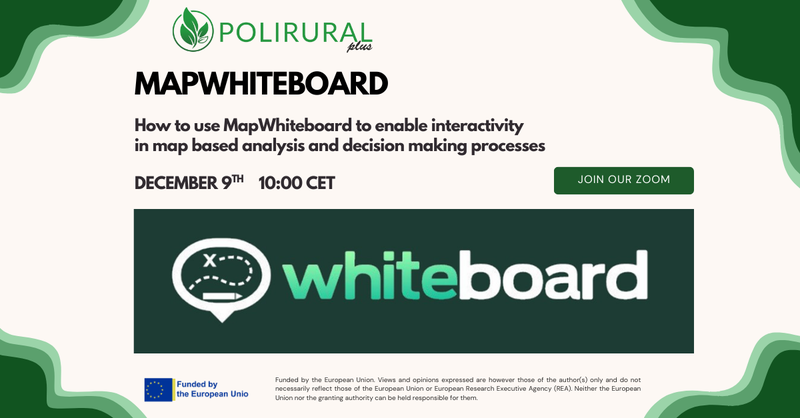
CANCELLED FOR NOW, follow us for a new date!
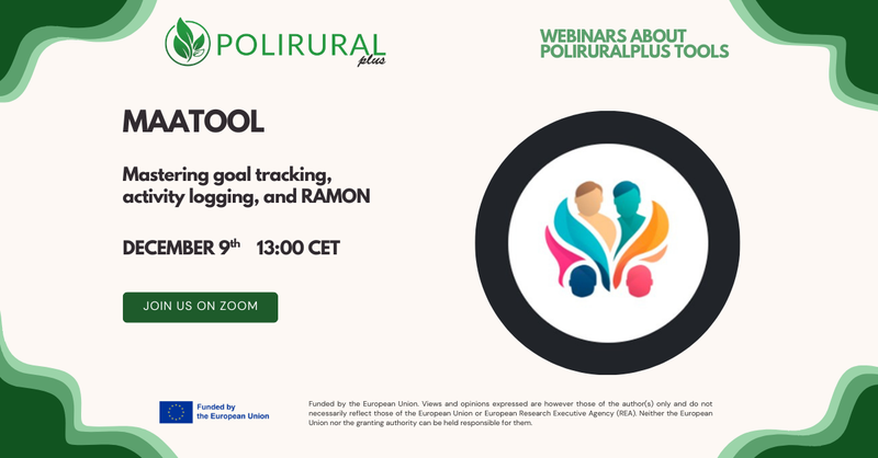
Mastering goal tracking, activity logging, and RAMON (MAATool)
Discover the MAATool — the PoliRuralPlus collaboration and monitoring platform that supports goal tracking, activity logging, and aggregation of KPIs across project work packages. The webinar will cover how the MAATool integrates RAGs, manages progress monitoring, and provides AI-assisted support for collecting feedback and performance data.
🗓️ Wednesday, 10 December 2025 – 10:00 CET add to your calendar
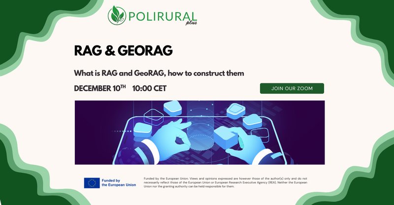
What Is RAG and GeoRAG: How to construct RAGs and GeoRAGs
This session offers a formal introduction to Retrieval-Augmented Generation (RAG) and its spatial extension, GeoRAG. Participants will explore the structure and workflow of RAG/GeoRAG systems, from indexing and retrieval to content generation, and learn how these technologies integrate geospatial data and AI to enable domain-grounded, location-aware insights for regional planning.
💻 All sessions are hosted on Zoom Join our zoom and recordings are available later on our YouTube channel.

Existing Comments