How to publish data on the hub
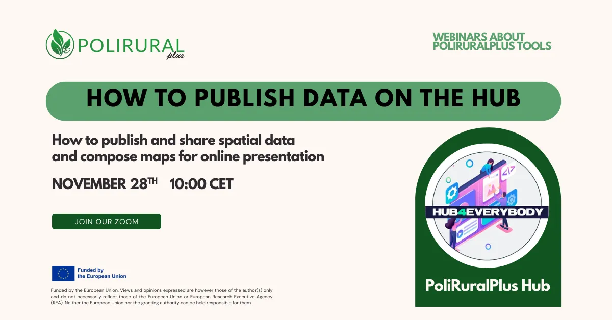
The PoliRuralPlus Webinar Series continued today with a hands-on session titled Publishing and Managing Spatial Data, focused on demonstrating how users can publish, manage, and visualize geospatial information through the PoliRuralPlus platform.
Led by the project’s technical team, the webinar provided a step-by-step walkthrough of the end-to-end process of publishing spatial datasets, setting access permissions, and embedding interactive map compositions into web pages. The demonstration covered both web-based and desktop (QGIS) workflows, showing how users can work seamlessly between open-source tools and the platform’s publishing infrastructure.
Participants were introduced to the platform’s key components:
- Wagtail – the content management system (CMS) supporting the platform,
- Layman publishing server – handling the transformation of data formats into online services, and
- Micka metadata catalog – managing the metadata associated with published geodata.
The live demonstration showed how to upload, style, and publish spatial datasets, connect to external map services, and combine multiple layers into thematic maps. The session also highlighted the integration with QGIS, where users can publish directly to the platform via the Layman plugin.
The event concluded with thanks to participants and an emphasis on the importance of open-source tools and metadata management in supporting transparent and collaborative regional data ecosystems.
👉 Follow our news and social media channels to learn about upcoming webinars in the PoliRuralPlus Tools Series.