

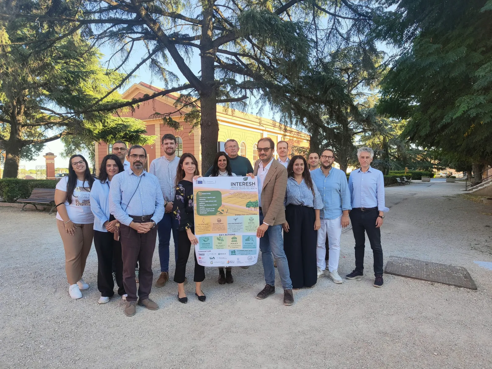
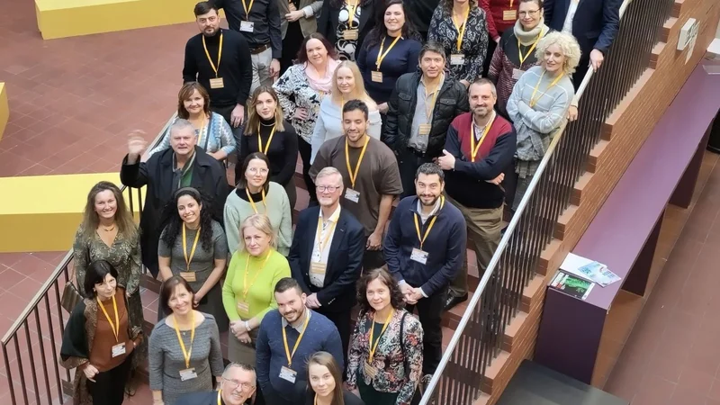
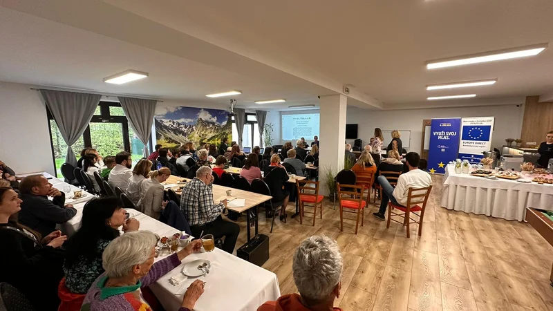
Foggia, 29–30 September 2025 — The Horizon Europe project INTERESH (Innovation for Territorial Cohesion around Soil Health) officially launched in Foggia under the coordination of the University of Foggia. The meeting gathered partners from across Europe to align objectives and launch activities within the Apulia Living Lab, which will co-design and validate region-specific measures for soil health and sustainable agriculture.
INTERESH contributes directly to the EU Mission “A Soil Deal for Europe”, testing four experimental actions:
- Nature-based solutions in olive systems
- Precision fertigation and water reuse in tomato cultivation
- Bio-fertilizer–based cultivation formulas
- A data-driven Regional Action Plan that integrates Large Language Models (LLMs) with GIS/LPIS, satellite, IoT, and regulatory data.
CCSS Contribution: AI and Data-Driven Territorial Intelligence
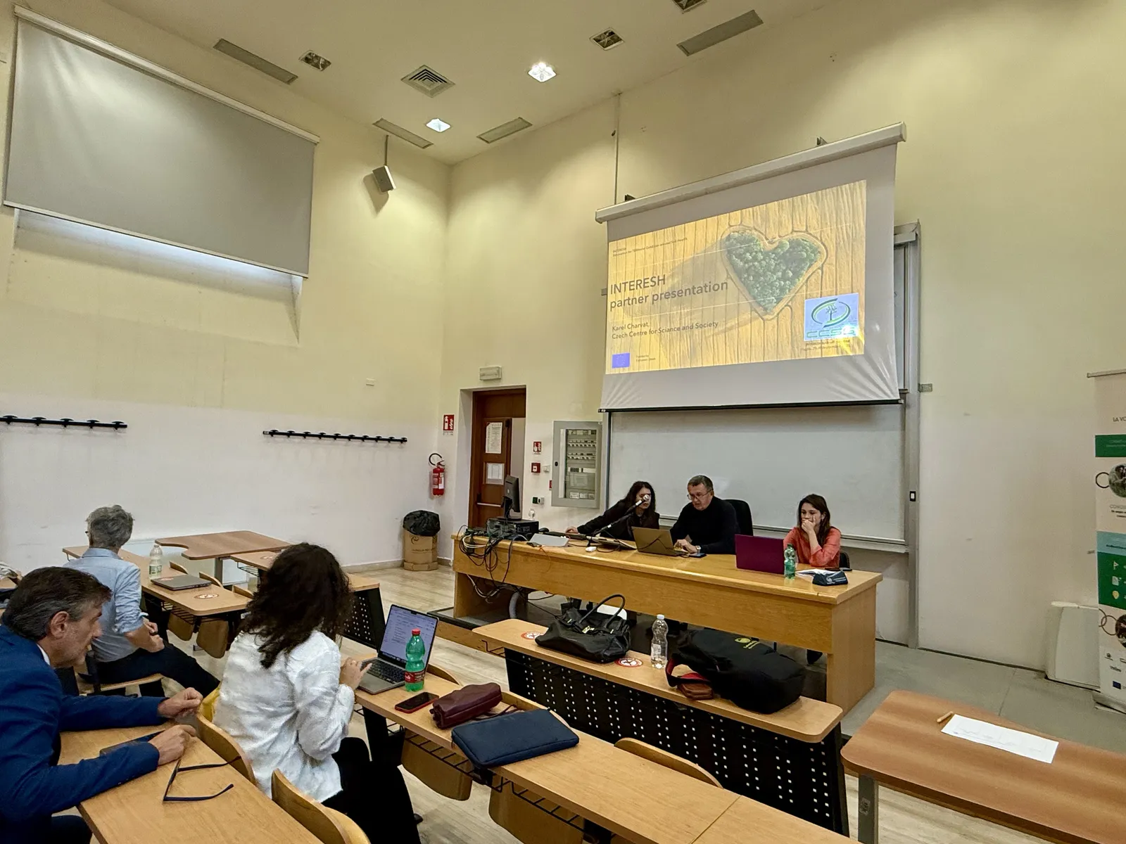
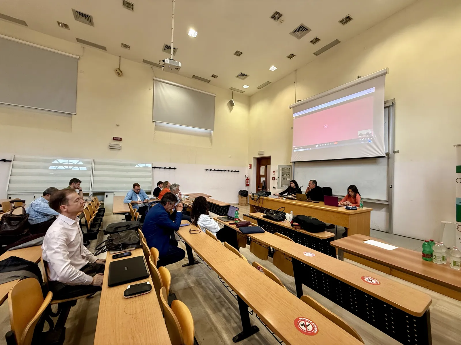
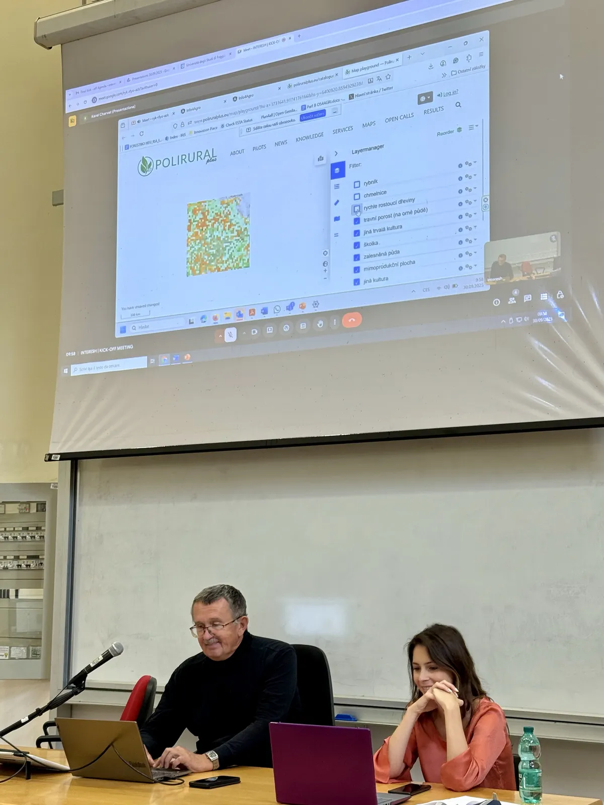
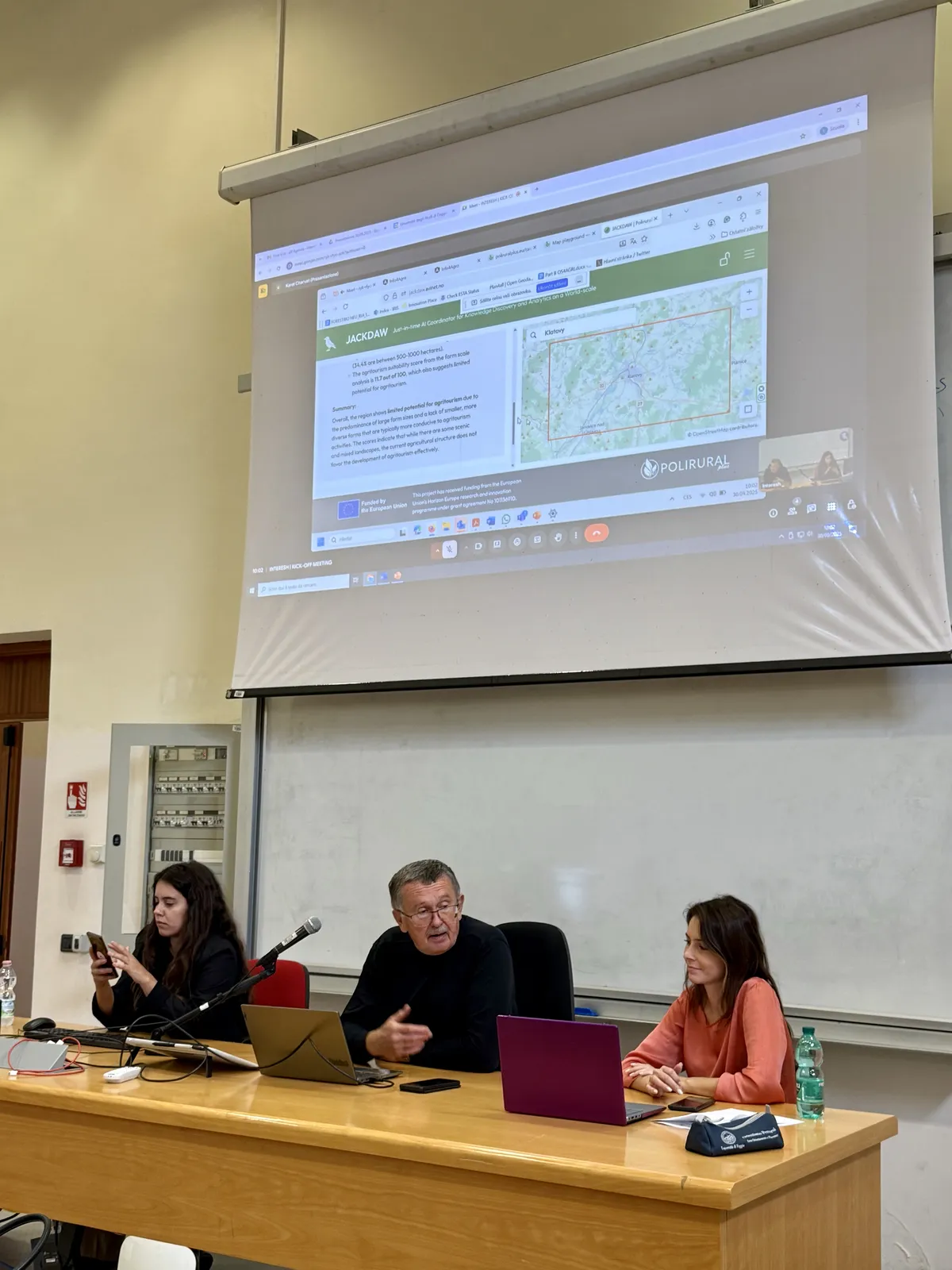
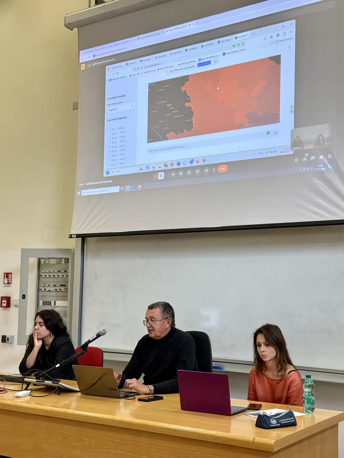
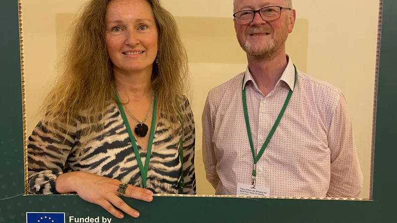
At the kick-off, Karel Charvat from the Czech Centre for Science and Society (CCSS) presented tools and methods central to INTERESH’s data infrastructure. CCSS leads Experimental Action #4, responsible for AI-driven analyses underpinning the Regional Action Plan. Their work connects LLMs with geospatial and policy data to inform soil-health strategies and Living Lab decisions.
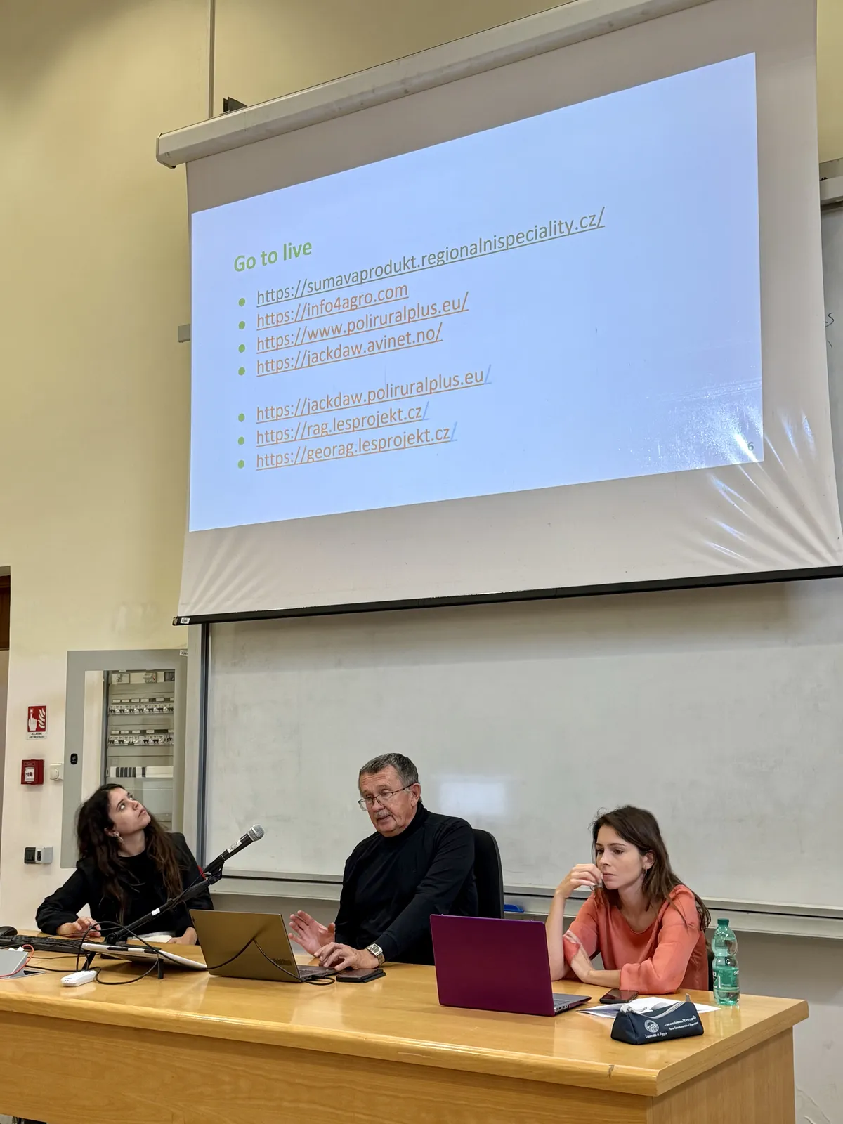
The presentation showcased key outputs from the PoliRuralPlus ecosystem, including:
- PoliRuralPlus Hub – serving as the main digital facility for training and decision support within INTERESH.
- GeoLLM modules (PoliRuralPlus RAG and GeoRAG) – enabling retrieval-augmented AI for geospatial intelligence.
- Šumavaprodukt (regional specialty platform) and Info4Agro – demonstrating data-driven innovation in agri-food systems.
Building on PoliRuralPlus
INTERESH builds directly on methodologies and data structures developed under PoliRural and PoliRuralPlus, extending their Living Lab practices and participatory policy tools to soil health. The PoliRuralPlus Hub will act as the bridge between digital decision support, regional innovation, and scientific validation — illustrating how open, AI-assisted platforms can translate complex environmental data into actionable territorial policies.
Further information and tools presented at the kick-off are available at:
The presentation is available for download.
Existing Comments