Introducing JackDaw
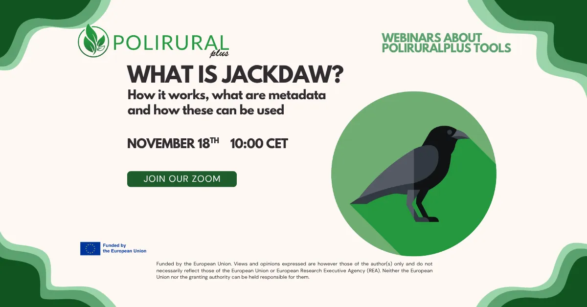
On 18 November, the PoliRuralPlus team launched the first session of its new webinar series, designed to guide regions, innovators, and open call applicants through the digital tools that power the PoliRuralPlus ecosystem. The opening webinar focused on JackDaw — an AI-driven spatial intelligence assistant supporting data management, analytics, and decision-making for rural and regional development.
Hosted on Zoom, the session brought together participants from across Europe, including developers, regional planners, researchers, and future applicants to the project’s cascade funding calls.
What Is JackDaw?
The session was led by Runar Bergheim (Asplan Viak), one of the creators of JackDaw, who introduced the tool with his characteristic humor and clarity.
JackDaw is, in its simplest form, a chatbot — but one designed to talk not only with text, but also with maps. Unlike generic AI assistants, JackDaw is equipped with a library of spatial and statistical datasets and can reason over:
- land use
- climate parameters
- demographics
- infrastructure
- terrain
- legislation, policies, industry news, and more
This enables users to hold meaningful, location-specific conversations with an AI about complex regional topics.
Why JackDaw?
PoliRuralPlus focuses on helping rural regions find their place in a rapidly changing world. Many rural communities face fragmentation, marginalization, or limited capacity to analyze and respond to data-driven challenges.
JackDaw was developed to:
- lower the technical threshold for using spatial data
- enable planners, local authorities, farmers, and developers to ask natural-language questions
- automate data discovery from existing sources (INSPIRE, Copernicus, Eurostat, national geoportals…)
- support both operational and strategic decisions
- help rural areas understand not only their internal characteristics, but also their relative position within broader rural–urban linkages
As Runar put it: “We’re not starting from zero. We already have so much data — the question is how to use it intelligently.”
How It Works
Participants received an in-depth walkthrough of JackDaw’s architecture:
1️⃣ Ask a question
Users draw a rectangle on a map and ask a question in natural language.
2️⃣ JackDaw retrieves context
The system reads spatial data for the selected location — land use, climate, terrain, population, infrastructure, etc.
3️⃣ AI interprets the question
It identifies the topics involved and selects relevant tools.
4️⃣ Tool orchestration
Using a Model Context Protocol (MCP), JackDaw dynamically calls the right data services.
5️⃣ Results delivered
The final answer may include text, maps, charts, statistics, or tables.
This approach makes it possible to answer both very local questions (e.g., farm-level suitability) and continental-scale analyses using raster datasets (e.g., travel times to cities, regional accessibility, potential markets).
Early Use Cases
Runar shared several pilot scenarios already tested:
Agricultural decision support
Evaluating conditions for sowing, harvesting, irrigation, and crop suitability using land use + weather + soil + climate.
Business potential assessment
Estimating market sizes, accessibility to population centers, and opportunities for different types of enterprises.
Short supply chain development
Identifying areas with strong potential for local agri-food value chains.
Each use case demonstrates how JackDaw can support both public-sector planning and private-sector innovation.
A Lively Q&A
The Q&A session revealed strong enthusiasm — and many practical questions — from participants:
- Developers asked how to integrate JackDaw into their own applications using APIs or MCP tools.
- Enhance call applicants asked about validation scenarios and expectations for JackDaw’s maturity.
- Regional planners discussed possibilities for cross-project collaboration and shared use cases.
- Business innovators explored whether JackDaw could support strategic planning for tourism, student housing, renewable energy, or service industries.
The team also clarified upcoming improvements, including:
- documentation for data sources
- better “I don’t know” behavior to avoid AI hallucinations
- workflows for publishing regional datasets
- deeper support for winners of the upcoming cascade calls
What’s Next?
This webinar is the first in a full series running until Christmas, each session focusing on a different aspect of PoliRuralPlus technologies — including GeoRAG, raster cubes, centrality analyses, and integration tools.
Participants can expect increasing opportunities to:
- test JackDaw
- integrate their own data
- collaborate across regions
- validate real-world use cases
- shape the future of AI-supported rural development
Thank You for Joining Us
The launch session showcased not only what JackDaw can do today, but also its growing potential to empower rural regions with intelligent, accessible digital tools.
If you missed the webinar or want to join future ones, stay tuned via the PoliRuralPlus Hub and follow our updates across project channels.