
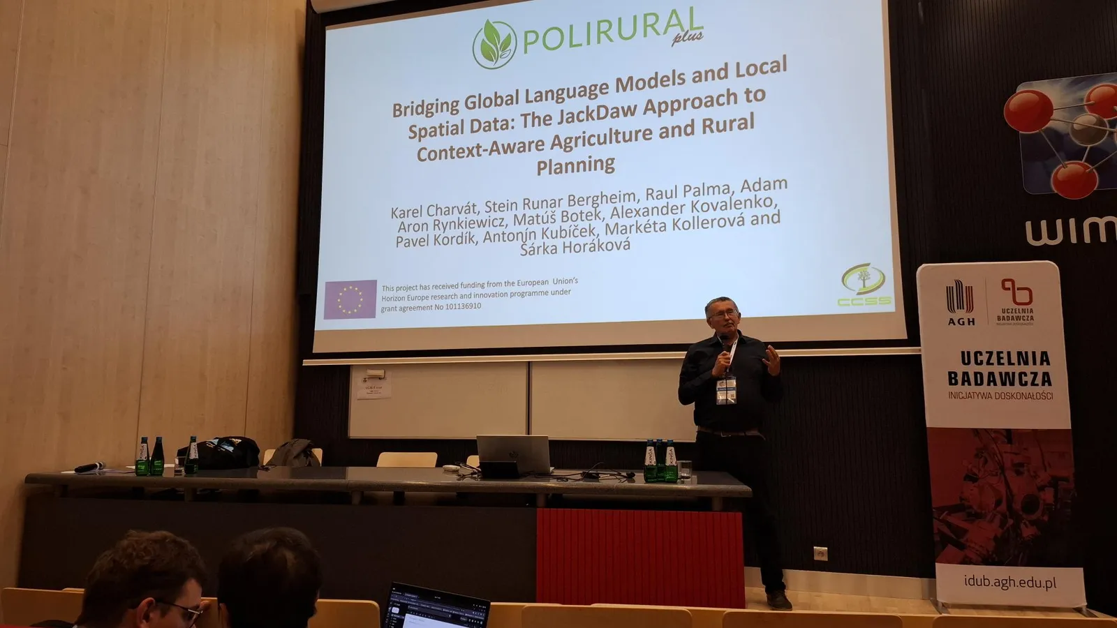
Kraków, Poland – September 2025 – The 20th Conference on Computer Science and Intelligence Systems (FedCSIS 2025) brought together AI researchers, computer scientists, and practitioners from around the world. Among the highlights of this year’s AgriAI thematic session was a presentation by Dr. Karel Charvát of the CCSS (Czech Centre for Science and Society), who introduced the audience to the PoliRuralPlus project and its innovative approach to bridging artificial intelligence with rural development.
A Vision for Rural Innovation
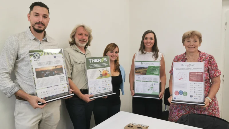
Dr. Charvát’s talk focused on how PoliRuralPlus is addressing regional challenges through digital tools, inclusive governance, and local innovation. The project’s vision is clear: strengthen rural-urban linkages to foster climate resilience, sustainable growth, and integrated regional development. Each pilot site serves as a model for collaboration and scalability, demonstrating that regional potential can be unlocked when technology and local knowledge work hand in hand.
Engineering Approach, Real-World Impact
In his presentation, Dr. Charvát emphasized that the project is taking a step-by-step, engineering-oriented approach rather than purely academic research. The focus is on GeoAI — integrating geospatial data and artificial intelligence — to build operational, scalable solutions that are useful to policymakers, farmers, and rural stakeholders.
“Our goal is not to build one giant GeoLLM to solve everything,” Dr. Charvát noted. “Instead, we aim to create small, targeted solutions that address specific problems while making communication between humans and data more effective.”
Introducing JackDaw: Context-Aware Rural Decision Support
A major part of Dr. Charvát’s talk was dedicated to JackDaw, a context-aware system designed to make it possible for people to “talk” to AI about their specific locations. The tool combines large language models (LLMs) with local spatial data, enabling decision-makers to have meaningful, data-informed conversations about agriculture, rural planning, and development.
JackDaw orchestrates data sources, tools, and LLMs through a multi-step process, augmenting context before answering queries. This approach allows users to receive insights that are grounded not only in general knowledge but also in spatial and socio-economic realities — including climate, soil, and infrastructure data.
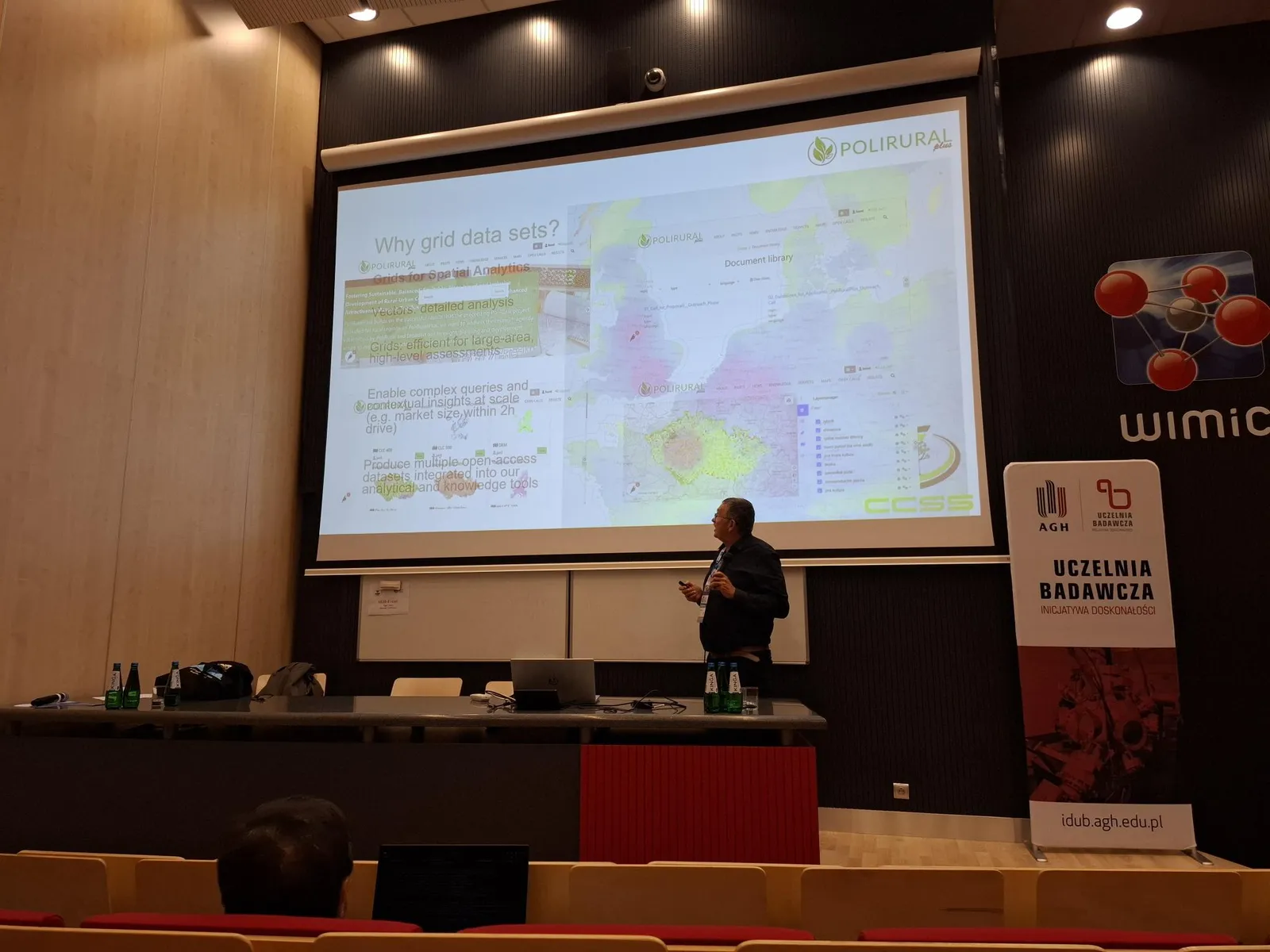
Why Grids Matter
Charvát also highlighted the importance of using grid-based spatial data for large-area analysis. Grids enable efficient high-level assessments, such as calculating market potential within a two-hour drive. This approach produces open-access datasets that can be reused and integrated into analytical and decision-making tools.
FedCSIS as a Platform for Collaboration
FedCSIS 2025, indexed by IEEE, DBLP, SCOPUS, and Web of Science, once again proved to be a valuable platform for cross-disciplinary exchange. The AgriAI session, supported by PoliRuralPlus, sparked discussions about the future of smart farming, digital twins for rural areas, and the role of AI in building resilient communities.
Researchers were encouraged to participate in the Machine Learning Challenge and to submit papers exploring how AI and data-driven solutions can transform agriculture and rural development.
Looking Ahead
With tools like JackDaw and initiatives like PoliRuralPlus, the future of rural innovation looks promising. Charvát closed his talk with a call to action: to build on existing results, avoid reinventing the wheel, and “make geo great again” by connecting advanced AI with the practical realities of local communities.

Existing Comments