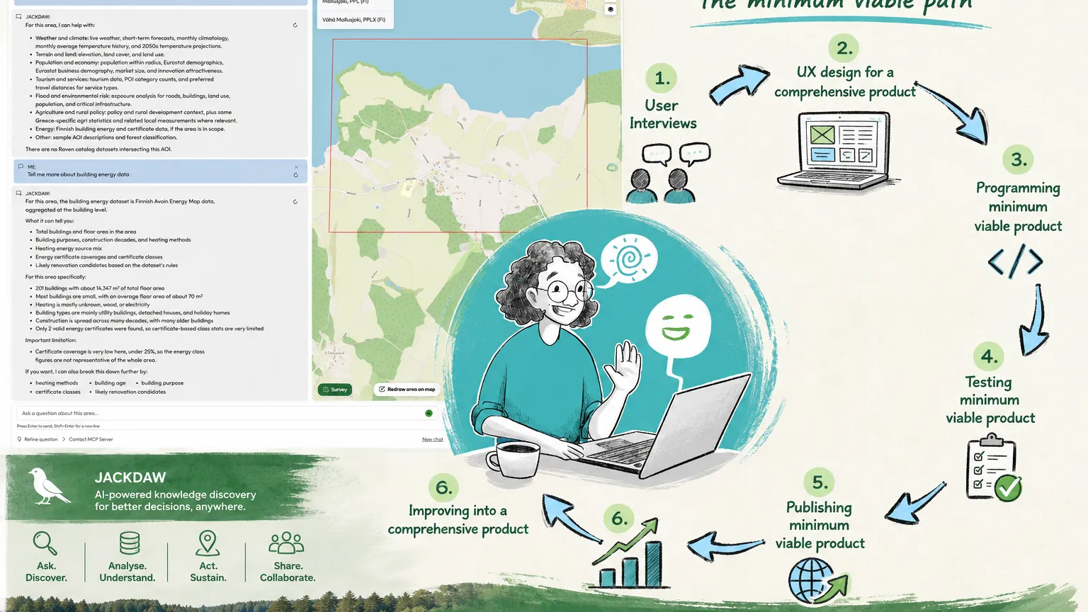
The Avoin Map project has completed its work under the PoliRuralPlus Develop Call, delivering three open-source pilot services for the Mallusjoki region in Finland: Energy Map, Zoning Map and Activity Map.
Implemented by Avoin Map Oy, Feydec Oy and Saatsi Arkkitehdit Oy, the project explored how open geospatial data, user-friendly interfaces and local participation can support rural vitality and sustainable decision-making.
The project began with a practical question: how can complex spatial information be transformed into services that rural communities, property owners, municipalities and local organisations can genuinely use?
The result is not one large platform, but three complementary services addressing different aspects of rural development.
Three services developed and tested
Energy Map helps users explore building energy information and assess possible renovation measures. It brings together data on issues such as energy consumption, heating systems, costs and emissions, making it easier to compare buildings and discuss energy-efficiency improvements.
The development was connected to practical planning for the Mallusjoki community hall. Saatsi Arkkitehdit Oy worked with the Mallusjoki Youth Association on a building survey, laser scanning, drone imaging and initial condition plans. This helped connect the digital service with a real renovation case and identify which information is most useful in discussions between property owners, planners and service providers.
Zoning Map supports climate-conscious land-use and infrastructure planning. Users can examine how hypothetical changes, such as a solar energy site, new construction or a power line, could affect carbon stocks, carbon sinks and emissions.
The pilot introduced functions for drawing planning areas and linear infrastructure, adjusting land-use assumptions, comparing scenarios and exporting geospatial results. The service was tested with local and national stakeholders, including the Finnish Environment Institute and Fingrid.
Activity Map addresses a different but equally important rural challenge: local events, attractions and services can exist without being easy to discover. Information is often divided between social media, municipal calendars, websites and community noticeboards.
The service provides a shared map-based view of events, cultural destinations, nature attractions and other local activities. Its design was developed through dialogue with the Mallusjoki Youth Association, the City of Orimattila and the Päijät-Häme Regional Council. Particular attention was given to easy submissions, moderated content and complementing existing calendars rather than duplicating them.
Together, the three services demonstrate how map-based tools can support both environmental sustainability and the everyday vitality of rural communities.
Local knowledge connected with European collaboration
The project’s results were made possible by combining different forms of expertise. Avoin Map Oy contributed geospatial service design, stakeholder engagement and user-interface development. Feydec Oy led software engineering, database development and technical integration. Saatsi Arkkitehdit Oy brought expertise in architecture, cultural heritage and energy-efficient renovation.
Local stakeholders contributed something equally important: knowledge of the place, its organisations and its practical needs. Without that input, even technically sophisticated services risk solving the wrong problem.
PoliRuralPlus added a wider European context. It connected the Mallusjoki pilot with a network of researchers, developers, rural regions and digital tools working towards a shared vision: stronger rural–urban connections, more informed decision-making and better use of local knowledge.
This kind of collaboration is particularly valuable for smaller organisations and rural communities. European projects create opportunities for specialised talent to work across organisational and national boundaries. They also encourage solutions to be documented, interoperable and reusable instead of remaining isolated experiments.
The ambition is not to make every region use an identical service. Rural areas differ greatly in their landscapes, economies, institutions and cultures. The value of European collaboration lies in sharing technical foundations, methods and lessons while allowing each region to adapt them to its own circumstances.
Building connections with the PoliRuralPlus ecosystem
A concrete example of this collaboration was the project’s work with JackDaw, a PoliRuralPlus tool that combines map-based exploration with natural-language questions.
The Avoin Map project prepared a technical contribution that allows JackDaw to access and interpret building-energy data developed through the project. A pull request was submitted to the JackDaw codebase, demonstrating how a user could select the Mallusjoki area and ask what building data is available there.
The example shows how open and structured data can become more accessible through conversational interfaces. Instead of navigating several datasets independently, a user can ask a question and receive an explanation of the available information, its limitations, and possible next steps.
The contribution is a modest technical step, but it reflects an important principle: publicly funded digital tools become more valuable when they can connect with one another. Open-source development allows teams to examine existing work, contribute improvements and build new services without repeatedly starting from zero.
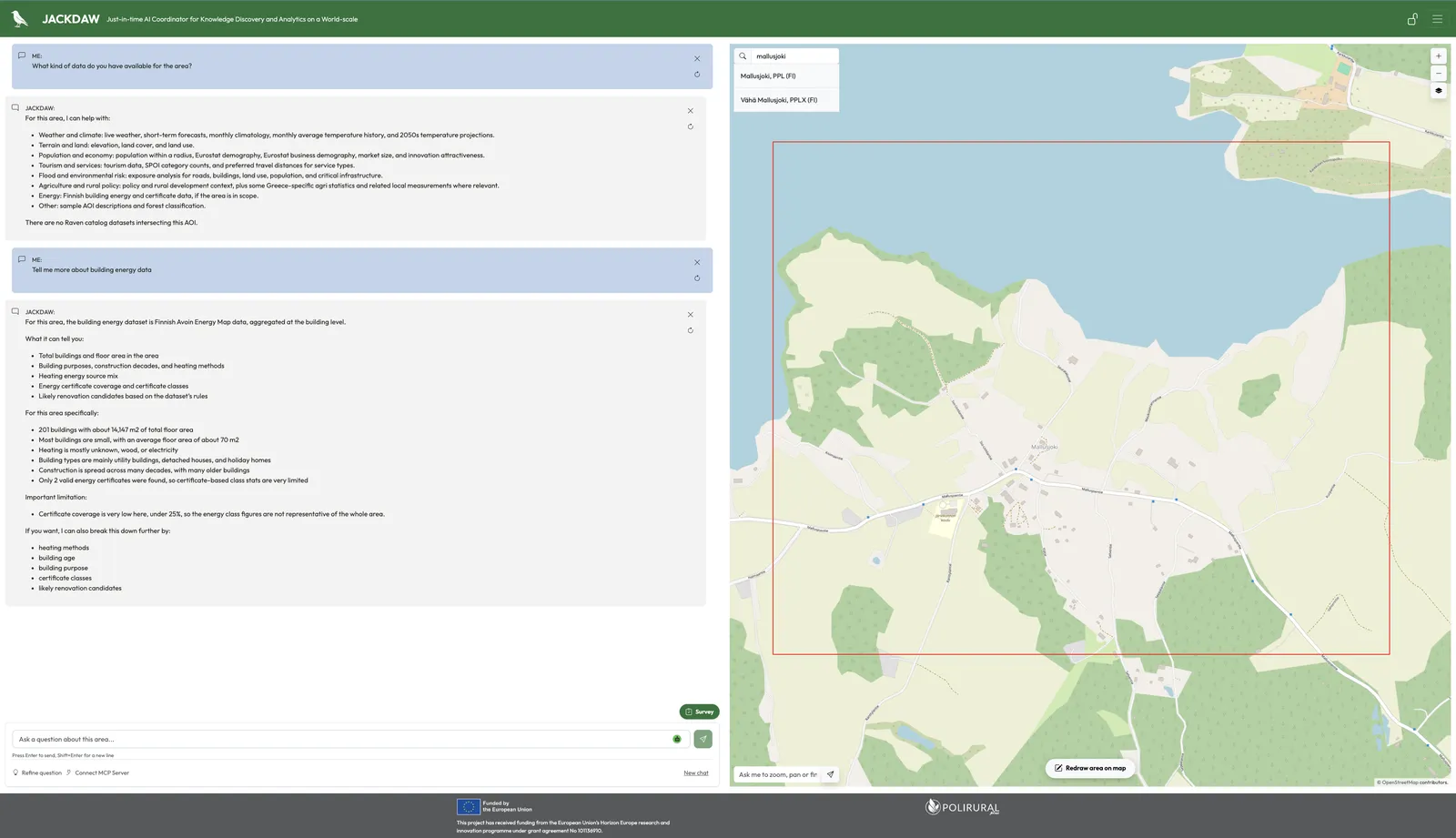
Image: A demonstration of Mallusjoki building-energy data in JackDaw, developed through a pull request submitted by the Avoin Map project.
From pilots to reusable building blocks
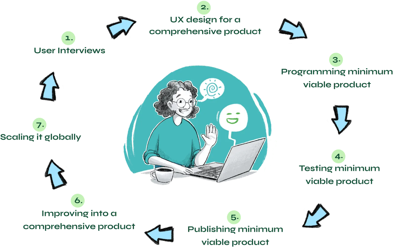
Service design process -illustration by Linda Mandell.
The completion of the project does not mean that every rural planning or visibility challenge has been solved. Digital services require maintenance, reliable data, responsible governance and continued user involvement. Professional judgement remains essential in building renovation and land-use planning, while an activity platform depends on local organisations continuing to provide and update content.
The project has nevertheless produced practical and reusable foundations. The services demonstrate how open data can support renovation discussions, how land-use impacts can be visualised before decisions are finalised, and how community activities can be brought into a shared and discoverable view.
Mallusjoki provided the place where these ideas could be tested against real needs. European cooperation provided the broader vision, technical connections and opportunity to turn local experiments into knowledge that others can reuse.
The Avoin Map project shows what can happen when local insight, European collaboration and specialised talent are brought together: small pilot services can become open building blocks for a more sustainable, connected and visible rural Europe.
The Avoin Map project has received funding from the PoliRuralPlus.
PoliRuralPlus has received funding from the European Union’s Horizon Europe research and innovation programme under Grant Agreement No. 101136910. Views and opinions expressed are however those of the author(s) only and do not necessarily reflect those of the European Union or the European Research Executive Agency. Neither the European Union nor the granting authority can be held responsible for them.


Existující komentáře