
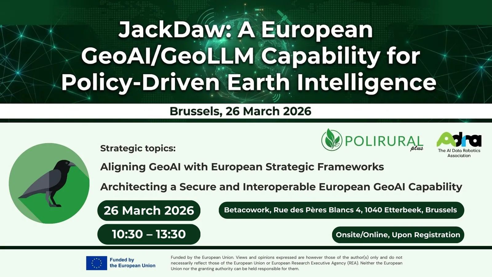
Brussels, 26 March 2026
The PoliRuralPlus consortium, in collaboration with ADRA Agrifood topic groups and key stakeholders, is pleased to invite selected experts to participate in a high-level workshop dedicated to the future of European GeoAI capabilities.
This exclusive event will take place on Thursday, 26 March 2026, in Brussels, with both onsite and online participation options available.
The workshop will introduce and explore JackDaw — an advanced GeoAI/GeoLLM platform designed to transform geospatial and Earth observation data into:
- Traceable
- Auditable
- Decision-ready intelligence
JackDaw represents a major step forward in enabling policy-driven Earth intelligence, supporting decision-makers across European, national, and global contexts.
Developed within the PoliRuralPlus Horizon Europe project, JackDaw is already gaining traction across multiple initiatives and is now entering a critical phase: the creation of a unified European ecosystem of stakeholders and technical partners.
Strategic Vision
The next phase of JackDaw focuses on co-creation with experts and stakeholders to establish a sovereign European GeoAI/GeoLLM capability.
This includes:
- Supporting policy implementation and governance
- Enabling interoperability across complex data environments
- Ensuring compliance with European data governance and digital sovereignty principles
- Contributing to emerging European Digital Twin and Earth Intelligence ecosystems
The workshop will facilitate a focused, high-level exchange on how JackDaw can support:
- European, national, and international policy frameworks
- Evidence-based policymaking in rural development and climate resilience
- Interoperable and scalable analytical solutions across heterogeneous data systems
Special attention will be given to:
- Common Agricultural Policy (CAP)
- Agricultural Knowledge and Innovation Systems (AKIS)
- Integration with AI and Large Language Models (LLMs)
- Secure and sovereign deployment architectures
Key Topics
1. Domain Expertise & Policy Integration
Theme: Aligning GeoAI with European Strategic Frameworks
This session will explore how JackDaw can:
- Bridge the gap between complex data environments and policy needs
- Support rural development, sustainability, and climate resilience
- Enable decision-ready GeoAI workflows for governance
Participants will contribute insights on how GeoAI can be effectively embedded into policy processes.
2. Technical Sovereignty & Ecosystem Interoperability
Theme: Architecting a Secure and Interoperable European GeoAI Capability
This session focuses on:
- Integration with diverse LLM architectures
- On-premise and sovereign-by-design deployments
- Interoperability with European Digital Twin infrastructures
- Compliance with data governance, security, and sovereignty standards
The goal is to define the technical roadmap for a scalable and secure European GeoAI ecosystem.
Individual Consultancy Opportunities
In addition to the main workshop, participating organisations are invited to take part in individual consultancy sessions during the two days preceding the event.
These sessions may cover:
- Practical implementation of JackDaw
- Integration of new data sources
- Development of tailored modules and use cases
Interested organisations are encouraged to arrange a session in advance by contacting:
Karel Charvát – charvat(at)ccss.cz
Practical Information
Date: Thursday, 26 March 2026
Time: 10:30 – 13:30 (with potential extension into afternoon sessions)
Venue:
Betacowork
Rue des Pères Blancs 4
1040 Etterbeek, Brussels
Format: Hybrid (onsite and online participation available)
Online participation possible upon registration
Preliminary Programme
10:30 — Opening Remarks
Petra Ritschelová (PoliRuralPlus Coordinator Representative, Czech Technical University in Prague), Karel Charvát (Technical Manager, Czech Centre for Science and Society)
10:40 — Strategic Vision
Supporting European, National and Global Policy Frameworks with JackDaw
Karel Charvát
11:00 — The JackDaw Platform
Concept, Architecture and Technical Foundations
Runar Bergheim (Asplan Viak)
11:20 — Practical Demonstration
Selected Use Cases and Operational Applications
Runar Bergheim
11:40 — Coffee Break
12:00 — Future Roadmap & Collaboration Opportunities
Karel Charvát
- Q&A session
12:20 – 13:20 — Interactive Workshop Sessions
- Topic 1: Policy Integration
- Topic 2: Technical Architecture
(Parallel group work – onsite and online)
13:20 – 13:30 — Summary & Next Steps
Background and Supporting Initiatives
JackDaw has been conceived and developed within the PoliRuralPlus project (Horizon Europe Grant Agreement No. 101136910), which focuses on fostering sustainable, inclusive, and place-based rural-urban development through advanced digital tools and methodologies.
Its continued development is supported by a portfolio of European initiatives, including:
Together, these initiatives contribute to building a robust European ecosystem for Earth intelligence and GeoAI innovation.
Confirmation of Attendance
Due to the limited capacity and the strategic nature of the workshop, participation is by invitation only.
To confirm your attendance, please contact:
Ms. Marketa Kollerova
📧 marketa.kollerova(at)plan4all.eu

Existing Comments