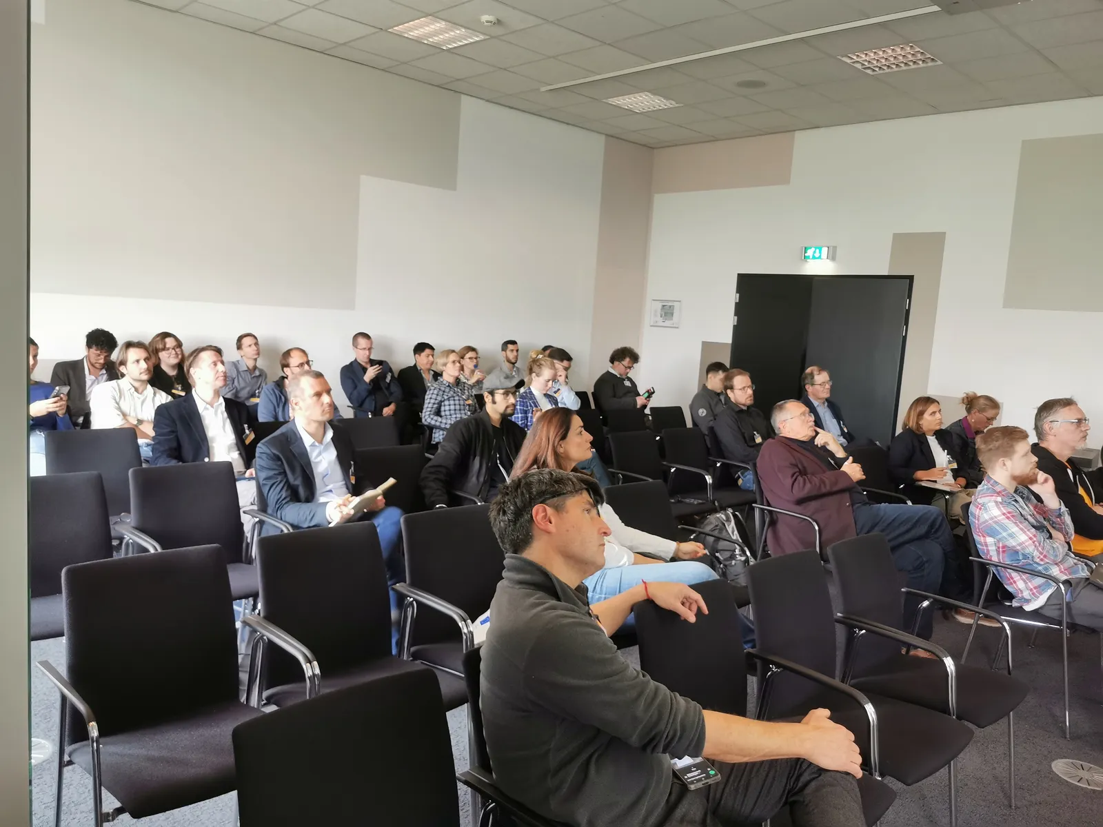
Last month, our teams from the ALIANCE and PoliRuralPlus projects had the pleasure of co-organising a special workshop at Synergy Days 2025, held on 21–22 October in Rotterdam, the Netherlands. As Europe’s leading networking event for digital innovators in agri-food, the conference brought together researchers, policymakers, digital advisors, and technology providers to explore state-of-the-art innovation shaping agriculture and rural development.
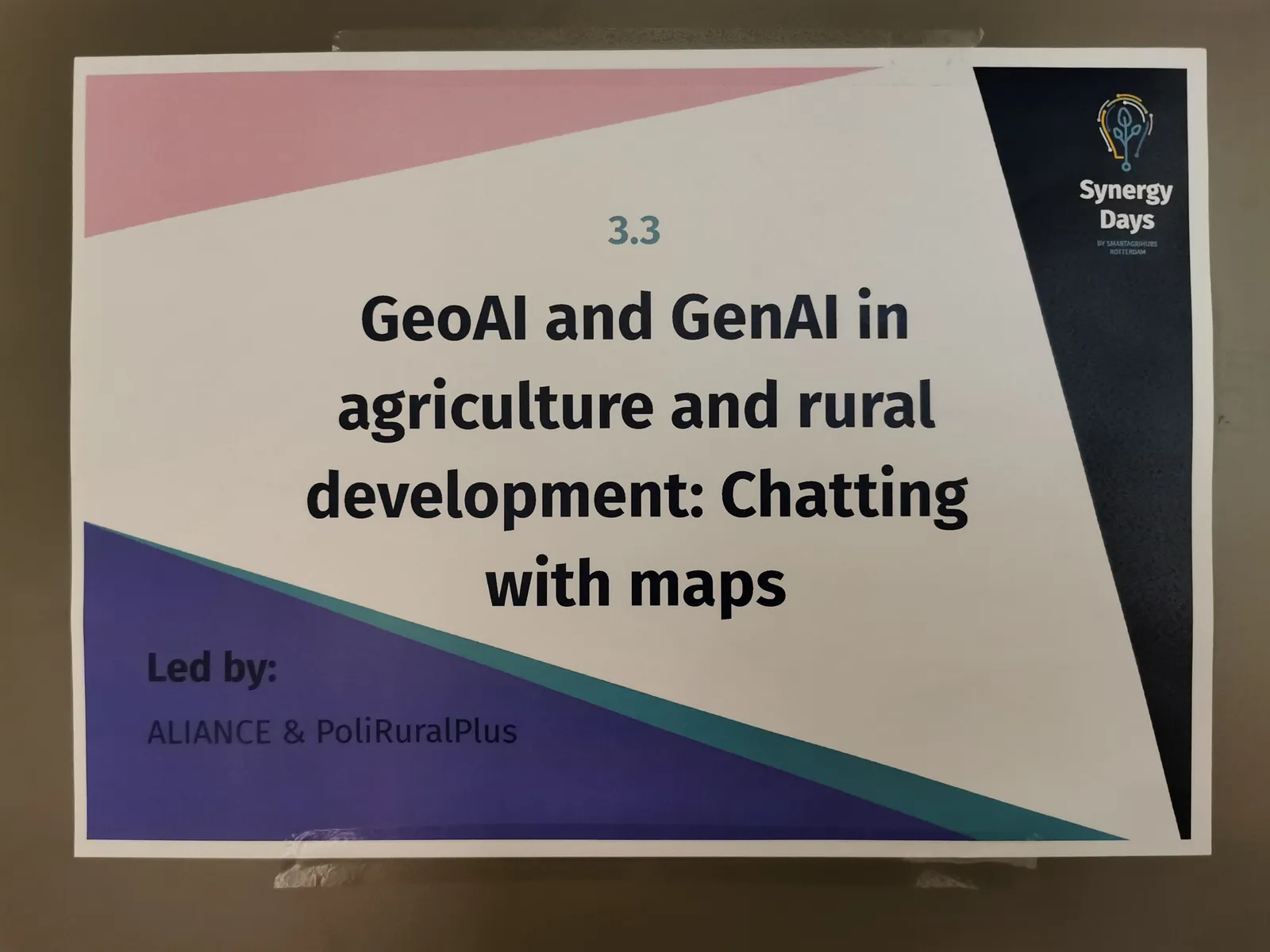
Our workshop titled “GeoAI and GenAI in agriculture and rural development: Chatting with maps” critically examined how artificial intelligence — particularly GeoAI and generative AI — could empower smarter, more sustainable decision-making in the field and across regions. Interactive sessions allowed participants to chat with a map using natural language and explore how geospatial data could be processed and embedded within modern AI systems.
🌱 GeoAI for Better Weather and Crop Insights
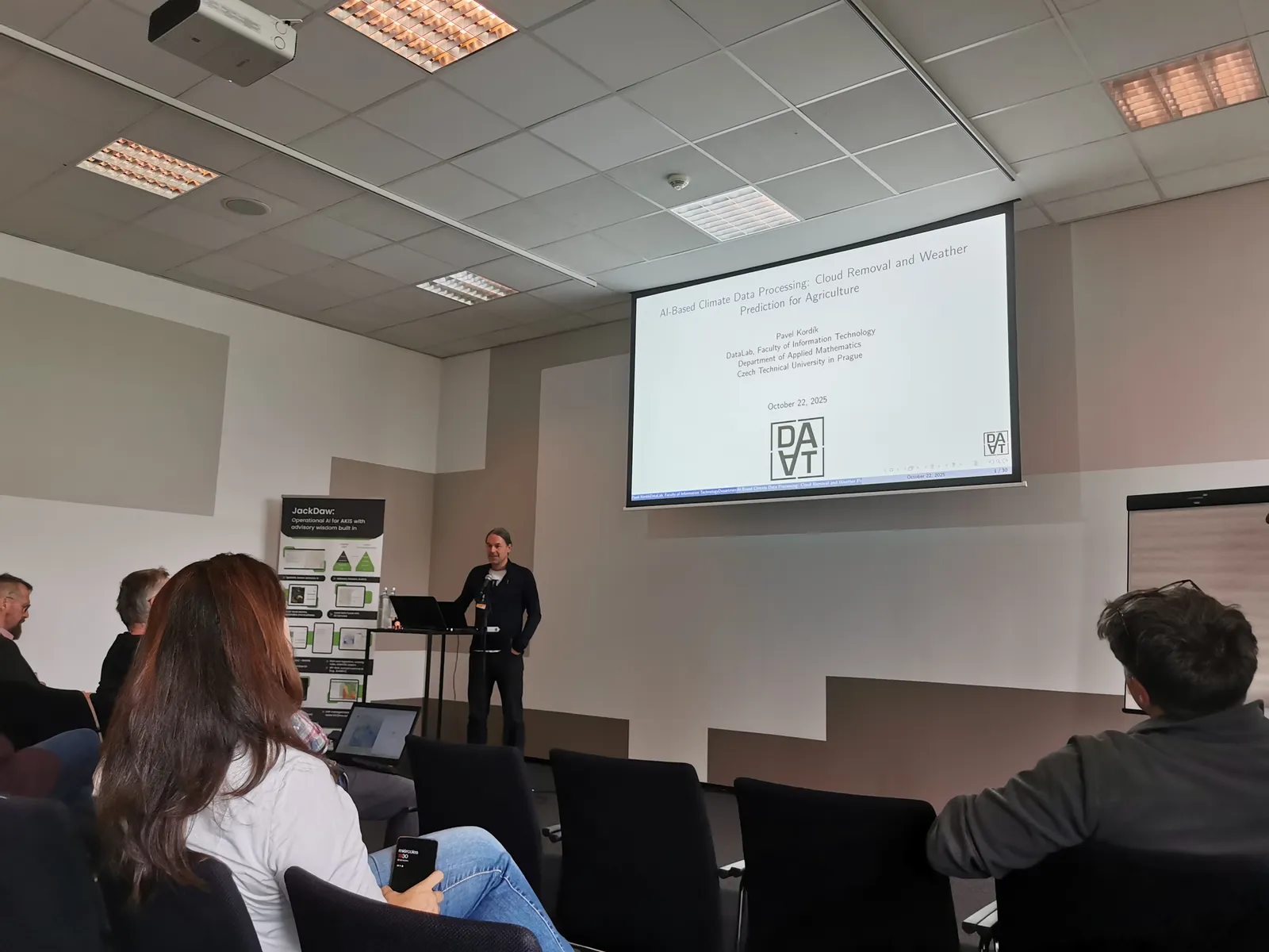
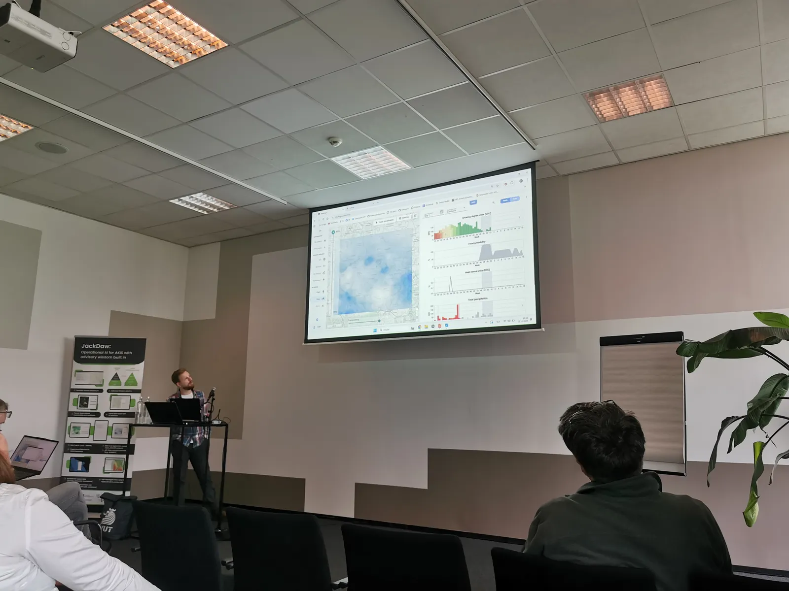
The session began with a presentation from DataLab, CTU in Prague, showcasing ongoing research in AI-based Earth observation and meteorology. The team demonstrated:
- Cloud removal for consistent NDVI time-series supporting early stress and yield-risk detection
- Local weather downscaling improving 24-hour forecasts for farm-level decisions
- Climate super-resolution, bridging the gap between coarse models and microclimate needs
These contributions highlighted the growing role of AI-enhanced spatial intelligence in operational agriculture.
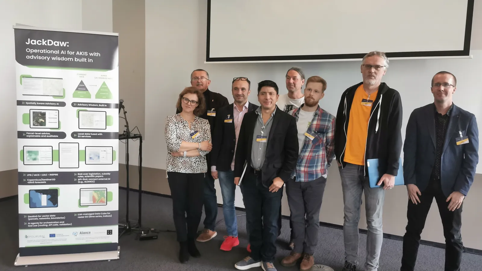
🗺️ Chatting With Maps: Introducing Jackdaw
A major focus of the workshop was Jackdaw, a conversational GeoAI assistant developed within PoliRuralPlus. Jackdaw already operated across Europe and enabled users to:
- Ask spatial questions in natural language
- Receive mixed outputs including maps and charts
- Work directly with existing EU data infrastructures for planning and investment decisions
The tool showed how planners and farmers could analyse rural spaces without specialist GIS expertise, bridging the gap between domain knowledge and technical systems.
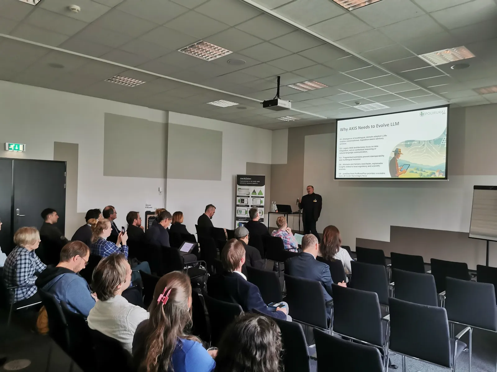
🧠 LLM-Driven Innovation for Advisory Systems
A follow-up talk introduced how Large Language Models could advance the next generation of Agricultural Knowledge and Innovation Systems (AKIS), enabling:
- Multilingual, regulation-aware advisory services
- Better interoperability and contextual reasoning
- Explainable insights supporting CAP and Green Deal priorities
Jackdaw was highlighted as a key integrator connecting global LLM capabilities with local context through geospatial analysis.
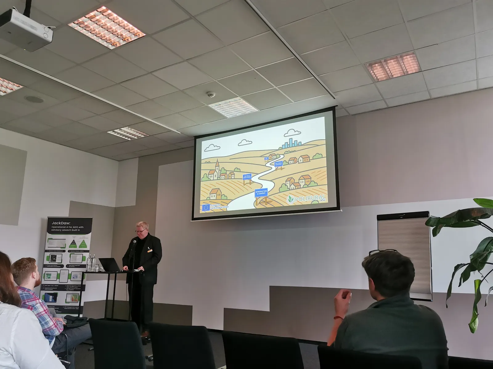
🌍 Rural-Urban Synergies and Local Innovation
The workshop also showcased the broader PoliRuralPlus mission, operating in nine pilot regions across Europe. Presenters emphasised:
- Rural-urban collaboration for inclusive and resilient regional development
- Co-created digital tools supporting local investment and governance
- Youth empowerment and digital innovation ecosystems across Europe
These examples demonstrated how digital transformation can address migration, economic transition, and sustainability challenges at local levels.
📚 GeoRAG: Connecting Spatial Data and Knowledge Sources
Participants explored GeoRAG — a retrieval-augmented generation (RAG) approach designed for geospatial reasoning:
- Encoding geodata into formats usable by LLMs
- Enabling localisation, distance reasoning, and traceability of outputs
- Improving accuracy and reproducibility of AI-assisted decisions
A long-imagined concept is now becoming real thanks to rapid AI advances.
🎯 Key Takeaways
- GeoAI and GenAI are practical enablers of smarter agricultural and rural decision-making
- Conversational tools like Jackdaw improve accessibility and stakeholder participation
- Integrating spatial data and LLMs strengthens trust, explainability, and multilingual inclusion
- Europe’s spatial data assets offer a strong basis for scalable innovation
Participants concluded that data, AI, and local knowledge must work together to deliver rural policies that are evidence-based, resilient, and inclusive.
📥 Workshop Materials from Synergy Days 2025
AI-Based Climate Data Processing — Cloud Removal & Weather Prediction for Agriculture
Hub4Everybody — Digital Innovation Support for Agriculture
Jackdaw — Conversational GeoAI Assistant for Rural and Agricultural Planning
Next Generation AKIS — Integrating LLMs and JackDaw for Policy and Advisory Innovation
PoliRuralPlus — Vision, Pilot Regions and Rural–Urban Linkages
PoliRuralPlus RAG, GeoRAG and Global or Local Solutions
🔄 Continue the Conversation — Join Today’s Webinar!
The exchange of knowledge did not end in Rotterdam. Today, we are pleased to continue the discussion through the launch of the PoliRuralPlus Webinar Series — and you are warmly invited to join!
Our first webinar will provide an introductory deep dive into JackDaw, one of the core tools supporting data management and analysis within the PoliRuralPlus ecosystem.
During this webinar, participants would discover what JackDaw is, how it works with metadata, and how these capabilities can drive smarter and more informed regional planning and decision-making.
🗓 November 18th
🕙 10:00 CET
💻 Hosted on Zoom
👉 More information & registration:
https://www.poliruralplus.eu/news/join-our-first-poliruralplus-webinar-what-is-jackdaw/
We were excited to meet you online and continue shaping the future of AI-supported agriculture and rural development together!
👉 Join us on Zoom

Existující komentáře